Aquidauana night lights from space
Night Light of Aquidauana (Mato Grosso do Sul) from space (Brazil) Src. Average luminocity for 10x10km area is 38.1799% and for 50x50km: 1.9381%.
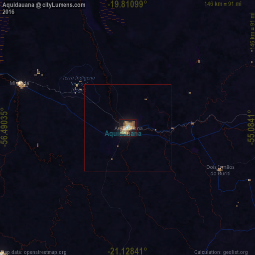
Analysis of Aquidauana night lights 2016
Square area 10x10 km:
 2.65%
2.65%90-99
3.98%80-89
7.58%70-79
8.52%60-69
9.28%50-59
4.92%40-49
6.82%30-39
2.46%20-29
3.22%10-19
36.55%0-9
14.02%Square area 50x50 km:
0.11%90-99
0.17%80-89
0.32%70-79
0.36%60-69
0.43%50-59
0.27%40-49
0.31%30-39
0.1%20-29
0.16%10-19
1.8%0-9
95.96%Clear (daylight) street map image can be seen on geolist.org.
Map coordinates:
19° 48' 39.6" South, 56° 29' 25.3" West
20° 28' 16" South, 55° 47' 14" West
21° 7' 42.3" South, 55° 5' 2.8" West
Some cities around Aquidauana sort by population:
• Campo Grande
118.9 km =73.9 mi,  88°
88°
• Jardim
118 km =73.3 mi,  197°
197°
• Anastácio
2.5 km =1.6 mi,  235°
235°
• Sidrolândia
100 km =62.1 mi,  120°
120°
• Bonito
102.2 km =63.5 mi,  224°
224°
• Miranda
66.7 km =41.4 mi,  292°
292°
• Guia Lopes da Laguna
114.8 km =71.3 mi, 197°
• Terenos
96.6 km =60 mi, 88°
3471896 (p: 35,303)
Sources (retrieved 2019-11-25):
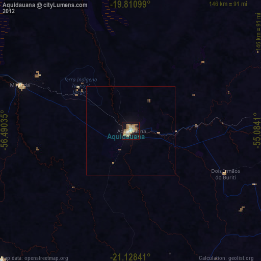
» Earth at Night: Flat Maps 2012, 2016