Roboré night lights from space
Night Light of Roboré (Santa Cruz) from space (Bolivia) Src. Average luminocity for 10x10km area is 6.655% and for 50x50km: 0.2787%.
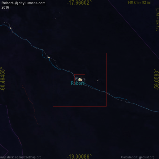
Analysis of Roboré night lights 2016
Square area 10x10 km:
 0%
0%90-99
0%80-89
4.13%70-79
1.03%60-69
0.62%50-59
0%40-49
1.65%30-39
0.83%20-29
0%10-19
0%0-9
91.74%Square area 50x50 km:
0%90-99
0%80-89
0.16%70-79
0.04%60-69
0.02%50-59
0%40-49
0.06%30-39
0.06%20-29
0%10-19
0%0-9
99.64%Clear (daylight) street map image can be seen on geolist.org.
Map coordinates:
17° 39' 57.7" South, 60° 27' 52.4" West
18° 20' 5" South, 59° 45' 41.1" West
19° 0' 3.1" South, 59° 3' 29.9" West
Some cities around Roboré sort by population:
• Corumbá, BR
234.4 km =145.6 mi,  108°
108°
• San Ignacio de Velasco
252.6 km =157 mi,  330°
330°
• Ladário, BR
239.4 km =148.8 mi, 108°
• Puerto Quijarro
219.6 km =136.5 mi,  73°
73°
• Pailón
325.1 km =202 mi,  283°
283°
• San Julian
333.9 km =207.5 mi, 280°
• Concepción
243.5 km =151.3 mi, 330°
• San Matías
262.2 km =162.9 mi,  33°
33°
3444176 (p: 9,882)
Sources (retrieved 2019-11-25):
» Earth at Night: Flat Maps 2012, 2016