Jaru night lights from space
Night Light of Jaru (Rondônia) from space (Brazil) Src. Average luminocity for 10x10km area is 28.4835% and for 50x50km: 1.4329%.
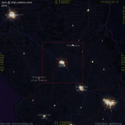
Analysis of Jaru night lights 2016
Square area 10x10 km:
 4.13%
4.13%90-99
4.96%80-89
6.2%70-79
3.31%60-69
5.37%50-59
0%40-49
0%30-39
3.93%20-29
4.34%10-19
28.51%0-9
39.26%Square area 50x50 km:
0.17%90-99
0.2%80-89
0.29%70-79
0.17%60-69
0.29%50-59
0%40-49
0.03%30-39
0.16%20-29
0.23%10-19
1.2%0-9
97.27%Clear (daylight) street map image can be seen on geolist.org.
Map coordinates:
9° 44' 47.9" South, 63° 10' 10.3" West
10° 26' 20" South, 62° 27' 59" West
11° 7' 46.5" South, 61° 45' 47.8" West
Some cities around Jaru sort by population:
• Porto Velho
244.1 km =151.7 mi,  319°
319°
• Ji Paraná
75 km =46.6 mi,  131°
131°
• Ariquemes
85.8 km =53.3 mi,  312°
312°
• Cacoal
157.3 km =97.7 mi, 134°
• Aripuanã
245.7 km =152.7 mi,  54°
54°
• Ouro Preto do Oeste
44 km =27.3 mi,  141°
141°
• Pimenta Bueno
195.2 km =121.3 mi, 134°
• Presidente Médici
102.5 km =63.7 mi, 142°
3925040 (p: 28,015)
Sources (retrieved 2019-11-25):
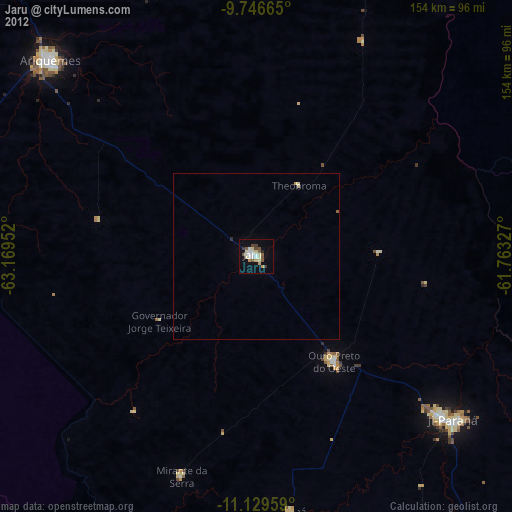
» Earth at Night: Flat Maps 2012, 2016