Porto Velho night lights from space
Night Light of Porto Velho (Rondônia) from space (Brazil) Src. Average luminocity for 10x10km area is 80.781% and for 50x50km: 11.2333%.
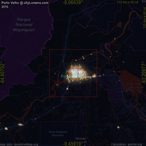
Analysis of Porto Velho night lights 2016
Square area 10x10 km:
 41.12%
90-99
14.46%80-89
4.55%70-79
5.37%60-69
12.4%50-59
7.02%40-49
9.92%30-39
3.1%20-29
1.45%10-19
0.62%0-9
0%Square area 50x50 km:
2.43%90-99
1.5%80-89
1.08%70-79
1.29%60-69
2.17%50-59
1.36%40-49
1.93%30-39
1.89%20-29
2.01%10-19
5.71%0-9
78.64%Clear (daylight) street map image can be seen on geolist.org.
Map coordinates:
8° 3' 59" South, 64° 36' 25.3" West
8° 45' 43" South, 63° 54' 14" West
9° 27' 22.3" South, 63° 12' 2.8" West
Some cities around Porto Velho sort by population:
• Ariquemes
159.2 km =98.9 mi,  143°
143°
• Guayaramerín, BO
279.4 km =173.6 mi,  214°
214°
• Guajará Mirim
274.1 km =170.3 mi, 214°
• Humaitá
168.5 km =104.7 mi,  34°
34°
• Jaru
244.1 km =151.7 mi, 139°
• Ouro Preto do Oeste
288.1 km =179 mi, 140°
• Canutama
253.3 km =157.4 mi,  347°
347°
• Extrema
291.5 km =181.1 mi,  247°
247°
3662762 (p: 306,180)
Sources (retrieved 2019-11-25):
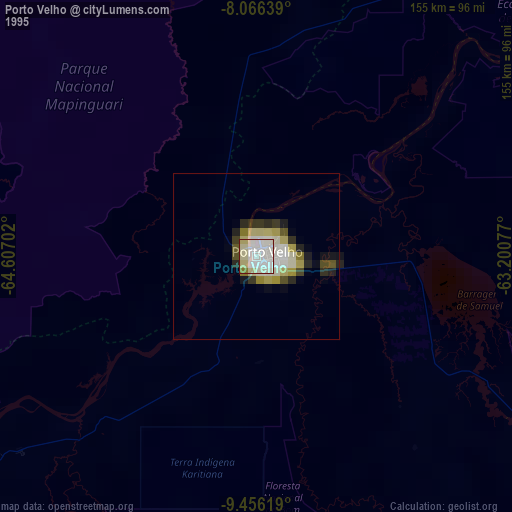
» NASA, Earths city lights 1995
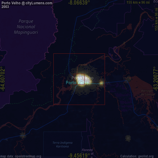
» NASA city lights 2003
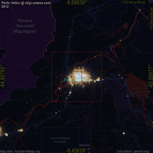
» Earth at Night: Flat Maps 2012, 2016