Aripuanã night lights from space
Night Light of Aripuanã (Mato Grosso) from space (Brazil) Src. Average luminocity for 10x10km area is 0% and for 50x50km: 0%.

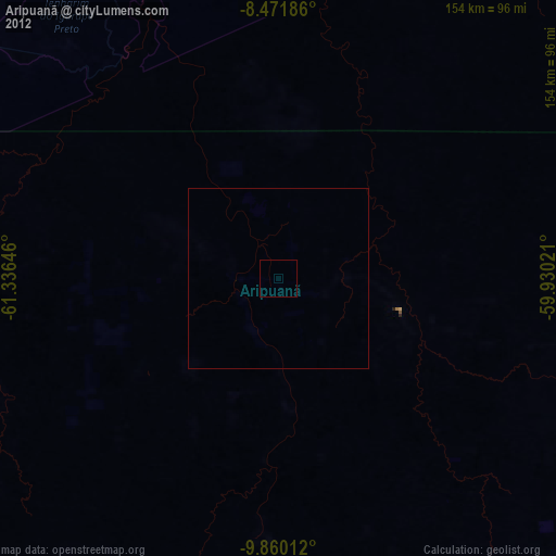
Analysis of Aripuanã night lights 2016
Square area 10x10 km:
 0%
0%90-99
0%80-89
0%70-79
0%60-69
0%50-59
0%40-49
0%30-39
0%20-29
0%10-19
0%0-9
100%Square area 50x50 km:
0%90-99
0%80-89
0%70-79
0%60-69
0%50-59
0%40-49
0%30-39
0%20-29
0%10-19
0%0-9
100%Clear (daylight) street map image can be seen on geolist.org.
Map coordinates:
8° 28' 18.7" South, 61° 20' 11.3" West
9° 10' 0" South, 60° 37' 60" West
9° 51' 36.4" South, 59° 55' 48.8" West
Some cities around Aripuanã sort by population:
• Ji Paraná
239.5 km =148.8 mi,  217°
217°
• Ariquemes
276.7 km =171.9 mi,  252°
252°
• Cacoal
267.8 km =166.4 mi,  199°
199°
• Humaitá
321.3 km =199.6 mi,  304°
304°
• Jaru
245.7 km =152.7 mi,  234°
234°
• Ouro Preto do Oeste
246.9 km =153.4 mi, 224°
• Pimenta Bueno
285.3 km =177.3 mi,  192°
192°
• Presidente Médici
262.9 km =163.4 mi,  211°
211°
3665202 (p: 26,983)
Sources (retrieved 2019-11-25):
» Earth at Night: Flat Maps 2012, 2016