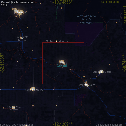
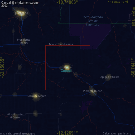
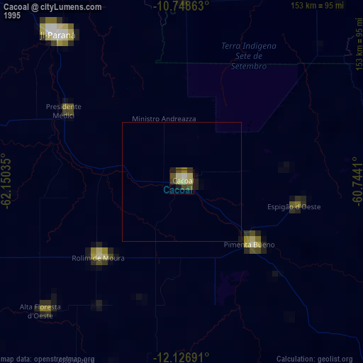
Cacoal night lights from space
Night Light of Cacoal (Rondônia) from space (Brazil) Src. Average luminocity for 10x10km area is 43.8203% and for 50x50km: 2.2837%.
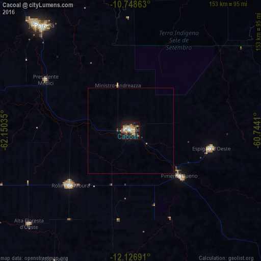
Analysis of Cacoal night lights 2016
Square area 10x10 km:
 5.63%
5.63%90-99
5.63%80-89
11.04%70-79
8.01%60-69
5.63%50-59
3.46%40-49
5.19%30-39
8.44%20-29
5.84%10-19
35.71%0-9
5.41%Square area 50x50 km:
0.22%90-99
0.22%80-89
0.5%70-79
0.37%60-69
0.25%50-59
0.14%40-49
0.23%30-39
0.38%20-29
0.26%10-19
2.4%0-9
95.01%Clear (daylight) street map image can be seen on geolist.org.
Map coordinates:
10° 44' 55.1" South, 62° 9' 1.3" West
11° 26' 19" South, 61° 26' 50" West
12° 7' 36.9" South, 60° 44' 38.8" West
Some cities around Cacoal sort by population:
• Ji Paraná
82.5 km =51.3 mi,  318°
318°
• Vilhena
202.4 km =125.8 mi,  135°
135°
• Ariquemes
243.1 km =151.1 mi,  314°
314°
• Pôsto Fiscal Rolim de Moura
203.8 km =126.6 mi,  206°
206°
• Jaru
157.3 km =97.7 mi, 314°
• Ouro Preto do Oeste
113.7 km =70.6 mi, 312°
• Pimenta Bueno
37.9 km =23.5 mi,  133°
133°
• Presidente Médici
57.5 km =35.7 mi,  300°
300°
3925212 (p: 55,560)
Sources (retrieved 2019-11-25):
» NASA, Earths city lights 1995
» NASA city lights 2003
» Earth at Night: Flat Maps 2012, 2016