Ji Paraná night lights from space
Night Light of Ji Paraná (Rondônia) from space (Brazil) Src. Average luminocity for 10x10km area is 59.9264% and for 50x50km: 3.836%.
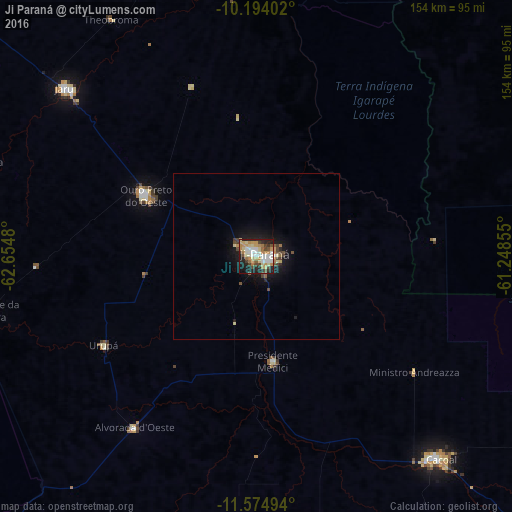
Analysis of Ji Paraná night lights 2016
Square area 10x10 km:
 10.61%
90-99
12.55%80-89
12.99%70-79
11.04%60-69
9.52%50-59
1.52%40-49
8.23%30-39
5.41%20-29
16.02%10-19
11.26%0-9
0.87%Square area 50x50 km:
0.42%90-99
0.53%80-89
0.67%70-79
0.55%60-69
0.53%50-59
0.22%40-49
0.76%30-39
0.42%20-29
0.93%10-19
3.3%0-9
91.67%Clear (daylight) street map image can be seen on geolist.org.
Map coordinates:
10° 11' 38.5" South, 62° 39' 17.3" West
10° 53' 7" South, 61° 57' 6" West
11° 34' 29.8" South, 61° 14' 54.8" West
Some cities around Ji Paraná sort by population:
• Ariquemes
160.8 km =99.9 mi,  312°
312°
• Cacoal
82.5 km =51.3 mi,  138°
138°
• Pôsto Fiscal Rolim de Moura
246.9 km =153.4 mi,  188°
188°
• Jaru
75 km =46.6 mi, 311°
• Aripuanã
239.5 km =148.8 mi,  37°
37°
• Ouro Preto do Oeste
32.6 km =20.3 mi,  297°
297°
• Pimenta Bueno
120.4 km =74.8 mi, 136°
• Presidente Médici
32.7 km =20.3 mi,  170°
170°
3925033 (p: 107,697)
Sources (retrieved 2019-11-25):
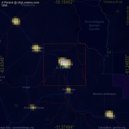
» NASA, Earths city lights 1995
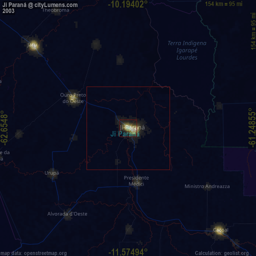
» NASA city lights 2003
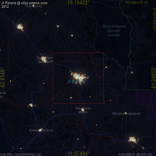
» Earth at Night: Flat Maps 2012, 2016