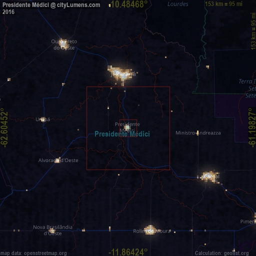
Presidente Médici night lights from space
Night Light of Presidente Médici (Rondônia) from space (Brazil) Src. Average luminocity for 10x10km area is 7.6147% and for 50x50km: 0.4391%.
Analysis of Presidente Médici night lights 2016
Square area 10x10 km:
 0.65%
0.65%90-99
1.08%80-89
1.52%70-79
0.22%60-69
1.52%50-59
1.95%40-49
1.08%30-39
2.38%20-29
0%10-19
0.87%0-9
88.74%Square area 50x50 km:
0.03%90-99
0.04%80-89
0.09%70-79
0.01%60-69
0.06%50-59
0.08%40-49
0.1%30-39
0.09%20-29
0.07%10-19
0.06%0-9
99.36%Clear (daylight) street map image can be seen on geolist.org.
Map coordinates:
10° 29' 4.8" South, 62° 36' 16.3" West
11° 10' 31" South, 61° 54' 5" West
11° 51' 51.3" South, 61° 11' 53.8" West
Some cities around Presidente Médici sort by population:
• Ji Paraná
32.7 km =20.3 mi,  350°
350°
• Vilhena
258.4 km =160.6 mi,  132°
132°
• Ariquemes
187.6 km =116.6 mi,  318°
318°
• Cacoal
57.5 km =35.7 mi,  120°
120°
• Pôsto Fiscal Rolim de Moura
216 km =134.2 mi,  190°
190°
• Jaru
102.5 km =63.7 mi, 322°
• Ouro Preto do Oeste
58.6 km =36.4 mi, 324°
• Pimenta Bueno
94.9 km =59 mi, 125°
3924872 (p: 11,922)
Sources (retrieved 2019-11-25):
» Earth at Night: Flat Maps 2012, 2016