Pimenta Bueno night lights from space
Night Light of Pimenta Bueno (Rondônia) from space (Brazil) Src. Average luminocity for 10x10km area is 23.7316% and for 50x50km: 2.2122%.
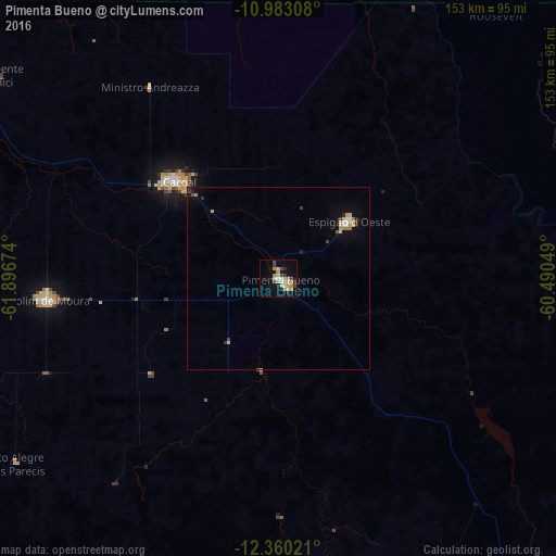
Analysis of Pimenta Bueno night lights 2016
Square area 10x10 km:
 1.52%
1.52%90-99
2.81%80-89
6.49%70-79
6.28%60-69
1.3%50-59
0.65%40-49
3.25%30-39
2.81%20-29
3.68%10-19
14.72%0-9
56.49%Square area 50x50 km:
0.18%90-99
0.23%80-89
0.44%70-79
0.51%60-69
0.18%50-59
0.06%40-49
0.23%30-39
0.33%20-29
0.3%10-19
1.1%0-9
96.46%Clear (daylight) street map image can be seen on geolist.org.
Map coordinates:
10° 58' 59.1" South, 61° 53' 48.3" West
11° 40' 21" South, 61° 11' 37" West
12° 21' 36.8" South, 60° 29' 25.8" West
Some cities around Pimenta Bueno sort by population:
• Ji Paraná
120.4 km =74.8 mi,  316°
316°
• Vilhena
164.5 km =102.2 mi,  136°
136°
• Ariquemes
281 km =174.6 mi,  314°
314°
• Cacoal
37.9 km =23.5 mi, 313°
• Pôsto Fiscal Rolim de Moura
196.1 km =121.9 mi,  216°
216°
• Jaru
195.2 km =121.3 mi, 314°
• Ouro Preto do Oeste
151.6 km =94.2 mi, 312°
• Presidente Médici
94.9 km =59 mi, 305°
3924908 (p: 25,762)
Sources (retrieved 2019-11-25):
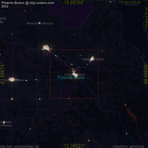
» Earth at Night: Flat Maps 2012, 2016