Tupaciguara night lights from space
Night Light of Tupaciguara (Minas Gerais) from space (Brazil) Src. Average luminocity for 10x10km area is 12.9752% and for 50x50km: 0.6053%.
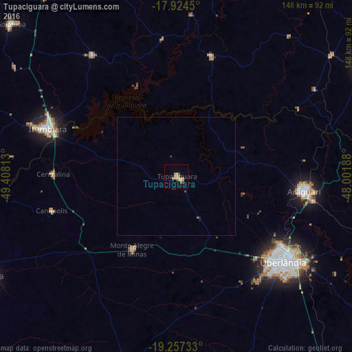
Analysis of Tupaciguara night lights 2016
Square area 10x10 km:
 0%
0%90-99
0.21%80-89
3.1%70-79
4.34%60-69
4.34%50-59
0.41%40-49
1.65%30-39
1.65%20-29
0%10-19
1.03%0-9
83.26%Square area 50x50 km:
0%90-99
0.01%80-89
0.12%70-79
0.17%60-69
0.2%50-59
0.02%40-49
0.1%30-39
0.1%20-29
0.02%10-19
0.08%0-9
99.18%Clear (daylight) street map image can be seen on geolist.org.
Map coordinates:
17° 55' 28.2" South, 49° 24' 29.3" West
18° 35' 32" South, 48° 42' 18" West
19° 15' 26.4" South, 48° 0' 6.8" West
Some cities around Tupaciguara sort by population:
• Uberlândia
57.8 km =35.9 mi,  128°
128°
• Araguari
54.9 km =34.1 mi,  96°
96°
• Ituiutaba
90.3 km =56.1 mi,  241°
241°
• Itumbiara
57.1 km =35.5 mi,  289°
289°
• Prata
82.8 km =51.4 mi,  196°
196°
• Monte Alegre de Minas
36.1 km =22.4 mi,  210°
210°
• Centralina
52.1 km =32.4 mi,  271°
271°
• Buriti Alegre
61.5 km =38.2 mi,  324°
324°
3445941 (p: 24,398)
Sources (retrieved 2019-11-25):
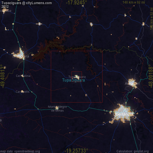
» Earth at Night: Flat Maps 2012, 2016