Itanhém night lights from space
Night Light of Itanhém (Bahia) from space (Brazil) Src. Average luminocity for 10x10km area is 6.2438% and for 50x50km: 0.7928%.
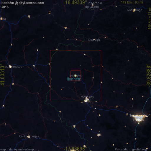
Analysis of Itanhém night lights 2016
Square area 10x10 km:
 0.41%
0.41%90-99
1.03%80-89
1.03%70-79
0.83%60-69
2.07%50-59
1.24%40-49
0.83%30-39
0%20-29
0%10-19
0%0-9
92.56%Square area 50x50 km:
0.06%90-99
0.17%80-89
0.13%70-79
0.05%60-69
0.18%50-59
0.11%40-49
0.13%30-39
0.05%20-29
0.1%10-19
0.03%0-9
98.99%Clear (daylight) street map image can be seen on geolist.org.
Map coordinates:
16° 29' 36.2" South, 41° 1' 59.3" West
17° 9' 59" South, 40° 19' 48" West
17° 50' 13.1" South, 39° 37' 36.8" West
Some cities around Itanhém sort by population:
• Itamaraju
86.1 km =53.5 mi,  80°
80°
• Nanuque
74.8 km =46.5 mi,  181°
181°
• Posto da Mata
94.7 km =58.8 mi,  147°
147°
• Medeiros Neto
25.8 km =16 mi, 153°
• Carlos Chagas
75.5 km =46.9 mi,  217°
217°
• Águas Formosas
65.1 km =40.5 mi,  278°
278°
• Guaratinga
87 km =54.1 mi,  42°
42°
• Joaíma
93.8 km =58.3 mi,  307°
307°
3460785 (p: 13,517)
Sources (retrieved 2019-11-25):
» Earth at Night: Flat Maps 2012, 2016