Garibaldi night lights from space
Night Light of Garibaldi (Rio Grande do Sul) from space (Brazil) Src. Average luminocity for 10x10km area is 37.7955% and for 50x50km: 8.6228%.
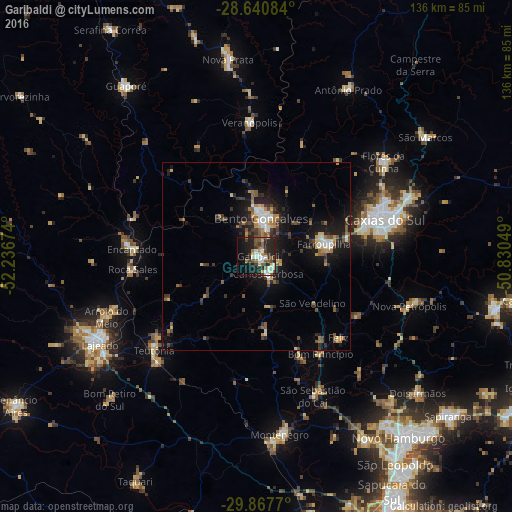
Analysis of Garibaldi night lights 2016
Square area 10x10 km:
 6.44%
6.44%90-99
6.44%80-89
2.84%70-79
3.22%60-69
3.98%50-59
8.52%40-49
4.17%30-39
7.95%20-29
17.8%10-19
25.19%0-9
13.45%Square area 50x50 km:
0.89%90-99
1%80-89
0.78%70-79
0.91%60-69
1.13%50-59
1.67%40-49
1.02%30-39
2.2%20-29
2.28%10-19
7.6%0-9
80.53%Clear (daylight) street map image can be seen on geolist.org.
Map coordinates:
28° 38' 27" South, 52° 14' 12.3" West
29° 15' 22" South, 51° 32' 1" West
29° 52' 3.7" South, 50° 49' 49.8" West
Some cities around Garibaldi sort by population:
• Caxias do Sul
35.7 km =22.2 mi,  74°
74°
• Bento Gonçalves
9.5 km =5.9 mi,  8°
8°
• Farroupilha
18.4 km =11.4 mi,  79°
79°
• Teutônia
34 km =21.1 mi,  231°
231°
• Veranópolis
35.6 km =22.1 mi,  357°
357°
• Carlos Barbosa
5.4 km =3.4 mi,  147°
147°
• São Sebastião do Caí
39.8 km =24.7 mi,  157°
157°
• Encantado
32.7 km =20.3 mi,  273°
273°
3462557 (p: 30,364)
Sources (retrieved 2019-11-25):
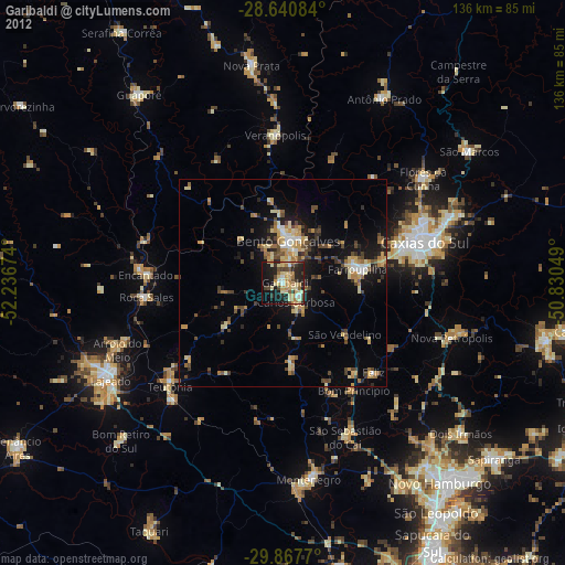
» Earth at Night: Flat Maps 2012, 2016