Farroupilha night lights from space
Night Light of Farroupilha (Rio Grande do Sul) from space (Brazil) Src. Average luminocity for 10x10km area is 36.3849% and for 50x50km: 15.996%.
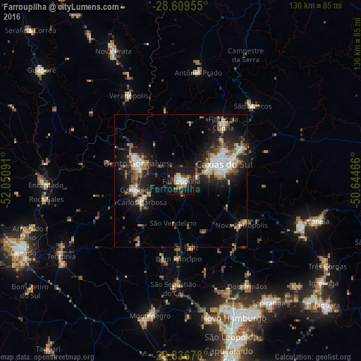

Analysis of Farroupilha night lights 2016
Square area 10x10 km:
 4.17%
4.17%90-99
7.54%80-89
5.16%70-79
4.76%60-69
4.17%50-59
5.16%40-49
2.38%30-39
4.76%20-29
4.17%10-19
50%0-9
7.74%Square area 50x50 km:
2.59%90-99
2.52%80-89
1.69%70-79
1.64%60-69
1.86%50-59
2.77%40-49
1.45%30-39
2.97%20-29
4.46%10-19
11.73%0-9
66.31%Clear (daylight) street map image can be seen on geolist.org.
Map coordinates:
28° 36' 34.4" South, 52° 3' 3.3" West
29° 13' 30" South, 51° 20' 52" West
29° 50' 12.4" South, 50° 38' 40.8" West
Some cities around Farroupilha sort by population:
• Caxias do Sul
17.5 km =10.9 mi,  68°
68°
• Bento Gonçalves
17.7 km =11 mi,  289°
289°
• Garibaldi
18.4 km =11.4 mi,  259°
259°
• Flores da Cunha
27.1 km =16.8 mi,  36°
36°
• Veranópolis
37.6 km =23.4 mi,  328°
328°
• Carlos Barbosa
17.1 km =10.6 mi,  241°
241°
• São Marcos
39.2 km =24.4 mi, 43°
• Nova Petrópolis
28.2 km =17.5 mi,  126°
126°
3463605 (p: 57,650)
Sources (retrieved 2019-11-25):
» NASA, Earths city lights 1995
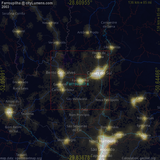
» NASA city lights 2003
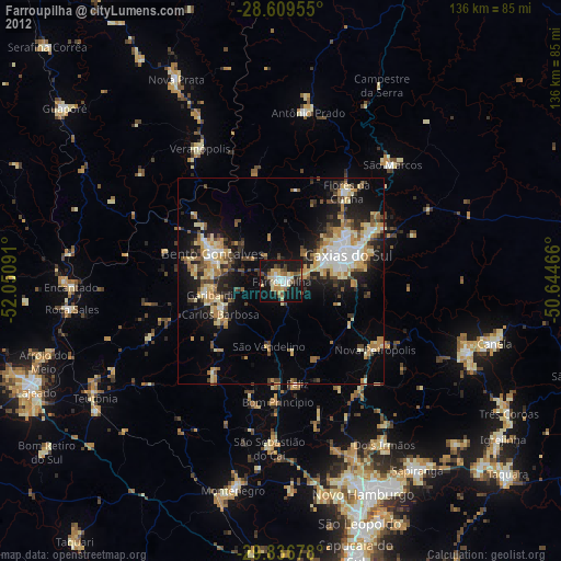
» Earth at Night: Flat Maps 2012, 2016