Bento Gonçalves night lights from space
Night Light of Bento Gonçalves (Rio Grande do Sul) from space (Brazil) Src. Average luminocity for 10x10km area is 53.6687% and for 50x50km: 8.2317%.
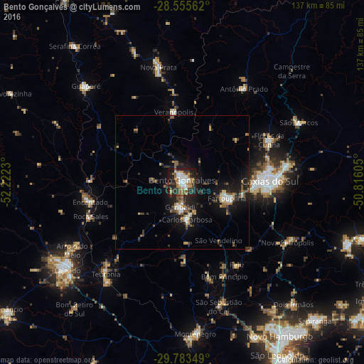
Analysis of Bento Gonçalves night lights 2016
Square area 10x10 km:
 10.91%
90-99
10.52%80-89
2.58%70-79
9.13%60-69
11.71%50-59
6.35%40-49
6.35%30-39
10.91%20-29
15.48%10-19
16.07%0-9
0%Square area 50x50 km:
0.89%90-99
1%80-89
0.64%70-79
0.95%60-69
1.05%50-59
1.55%40-49
0.82%30-39
2.08%20-29
2.44%10-19
7.76%0-9
80.81%Clear (daylight) street map image can be seen on geolist.org.
Map coordinates:
28° 33' 20.2" South, 52° 13' 20.3" West
29° 10' 17" South, 51° 31' 9" West
29° 47' 0.6" South, 50° 48' 57.8" West
Some cities around Bento Gonçalves sort by population:
• Caxias do Sul
33 km =20.5 mi,  89°
89°
• Farroupilha
17.7 km =11 mi,  109°
109°
• Garibaldi
9.5 km =5.9 mi,  188°
188°
• Teutônia
41.5 km =25.8 mi,  222°
222°
• Flores da Cunha
36.4 km =22.6 mi,  64°
64°
• Veranópolis
26.3 km =16.3 mi,  353°
353°
• Carlos Barbosa
14.1 km =8.8 mi,  173°
173°
• Encantado
34.8 km =21.6 mi,  258°
258°
3470073 (p: 90,852)
Sources (retrieved 2019-11-25):
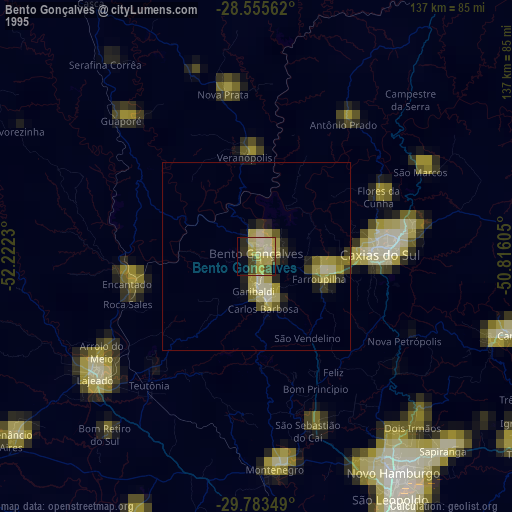
» NASA, Earths city lights 1995
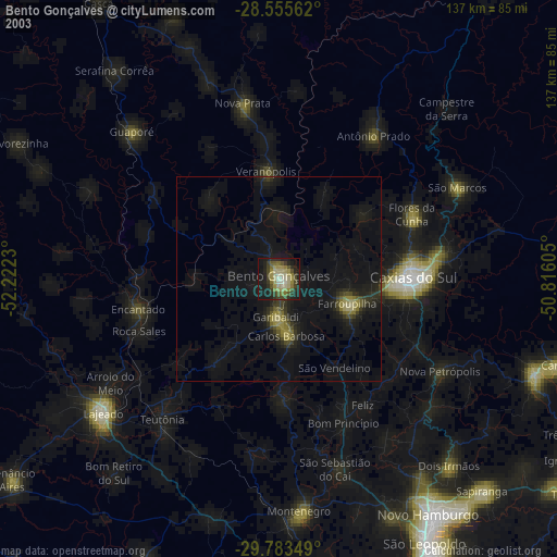
» NASA city lights 2003
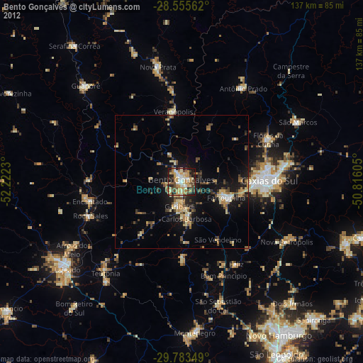
» Earth at Night: Flat Maps 2012, 2016