Bauru night lights from space
Night Light of Bauru (São Paulo) from space (Brazil) Src. Average luminocity for 10x10km area is 84.5341% and for 50x50km: 10.1294%.
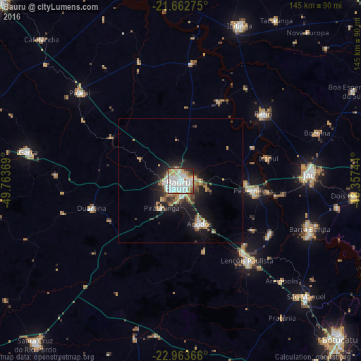
Analysis of Bauru night lights 2016
Square area 10x10 km:
 35.42%
90-99
26.7%80-89
8.33%70-79
7.95%60-69
7.2%50-59
2.27%40-49
4.36%30-39
1.7%20-29
5.68%10-19
0.38%0-9
0%Square area 50x50 km:
2.08%90-99
1.76%80-89
0.72%70-79
1.57%60-69
1.29%50-59
0.87%40-49
1.2%30-39
1.08%20-29
2.64%10-19
7.14%0-9
79.66%Clear (daylight) street map image can be seen on geolist.org.
Map coordinates:
21° 39' 45.9" South, 49° 45' 49.3" West
22° 18' 53" South, 49° 3' 38" West
22° 57' 49.2" South, 48° 21' 26.8" West
Some cities around Bauru sort by population:
• Jaú
51.8 km =32.2 mi,  87°
87°
• Lençóis Paulista
41.4 km =25.7 mi,  139°
139°
• Pederneiras
29.7 km =18.5 mi,  97°
97°
• Agudos
18.7 km =11.6 mi,  156°
156°
• Bariri
42.4 km =26.3 mi,  50°
50°
• Macatuba
41.5 km =25.8 mi,  120°
120°
• Duartina
37 km =23 mi,  252°
252°
• Itapuí
36.3 km =22.6 mi,  75°
75°
3470279 (p: 335,024)
Sources (retrieved 2019-11-25):
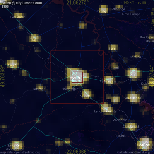
» NASA, Earths city lights 1995
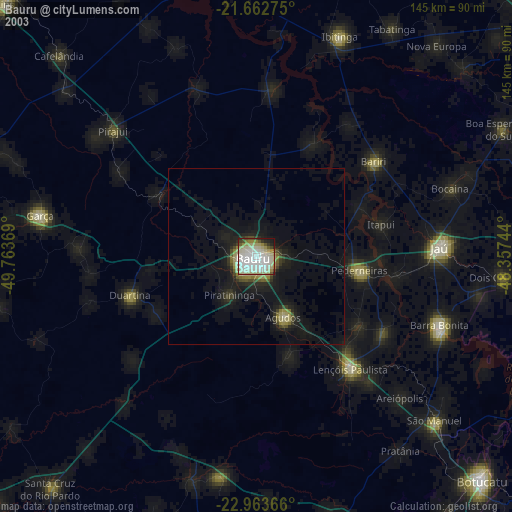
» NASA city lights 2003
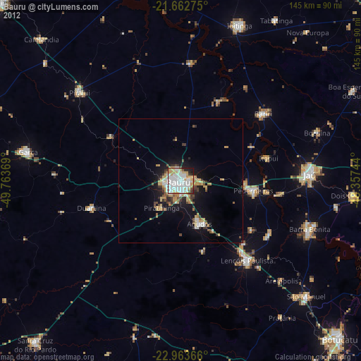
» Earth at Night: Flat Maps 2012, 2016