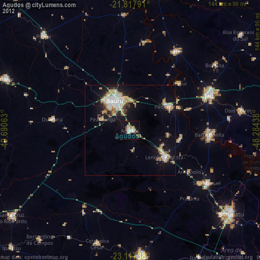
Agudos night lights from space
Night Light of Agudos (São Paulo) from space (Brazil) Src. Average luminocity for 10x10km area is 30.6383% and for 50x50km: 13.5759%.
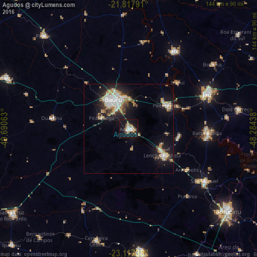
Analysis of Agudos night lights 2016
Square area 10x10 km:
 6.06%
6.06%90-99
5.11%80-89
0.57%70-79
5.11%60-69
5.49%50-59
3.79%40-49
3.22%30-39
1.14%20-29
2.08%10-19
46.59%0-9
20.83%Square area 50x50 km:
2.61%90-99
2.25%80-89
1.13%70-79
2.28%60-69
1.59%50-59
1.18%40-49
1.54%30-39
1.48%20-29
3.07%10-19
10.82%0-9
72.03%Clear (daylight) street map image can be seen on geolist.org.
Map coordinates:
21° 49' 4.5" South, 49° 41' 26.3" West
22° 28' 9" South, 48° 59' 15" West
23° 7' 2.6" South, 48° 17' 3.8" West
Some cities around Agudos sort by population:
• Bauru
18.7 km =11.6 mi,  336°
336°
• Lençóis Paulista
24 km =14.9 mi,  126°
126°
• Pederneiras
25.5 km =15.8 mi,  59°
59°
• Barra Bonita
44.2 km =27.5 mi,  93°
93°
• Igaraçu do Tietê
44.4 km =27.6 mi,  95°
95°
• Macatuba
28.6 km =17.8 mi, 97°
• Duartina
43.2 km =26.8 mi,  278°
278°
• Itapuí
38.1 km =23.7 mi,  46°
46°
3472825 (p: 30,807)
Sources (retrieved 2019-11-25):
» Earth at Night: Flat Maps 2012, 2016