Barreiras night lights from space
Night Light of Barreiras (Bahia) from space (Brazil) Src. Average luminocity for 10x10km area is 55.7893% and for 50x50km: 4.1299%.
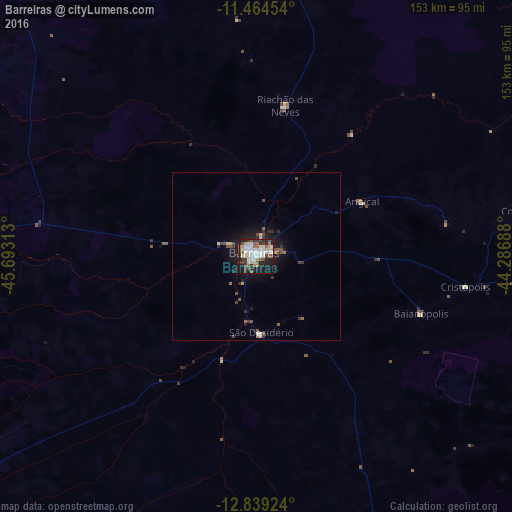
Analysis of Barreiras night lights 2016
Square area 10x10 km:
 14.88%
90-99
15.5%80-89
5.17%70-79
2.27%60-69
5.37%50-59
7.44%40-49
8.88%30-39
5.99%20-29
15.5%10-19
17.77%0-9
1.24%Square area 50x50 km:
0.63%90-99
0.77%80-89
0.34%70-79
0.19%60-69
0.32%50-59
0.72%40-49
0.83%30-39
0.58%20-29
1.15%10-19
3.43%0-9
91.03%Clear (daylight) street map image can be seen on geolist.org.
Map coordinates:
11° 27' 52.3" South, 45° 41' 35.3" West
12° 9' 10" South, 44° 59' 24" West
12° 50' 21.3" South, 44° 17' 12.8" West
Some cities around Barreiras sort by population:
• Santa Maria da Vitória
162 km =100.7 mi,  148°
148°
• Ibotirama
192.4 km =119.6 mi,  91°
91°
• Formosa do Rio Preto
124.8 km =77.5 mi,  349°
349°
• Taguatinga
159.6 km =99.2 mi,  259°
259°
• Correntina
137.8 km =85.6 mi,  163°
163°
• Riachão das Neves
46 km =28.6 mi,  10°
10°
• Paratinga
205 km =127.4 mi,  106°
106°
• São Desidério
23.5 km =14.6 mi,  175°
175°
3470583 (p: 158,292)
Sources (retrieved 2019-11-25):
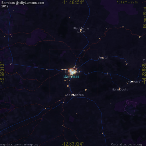
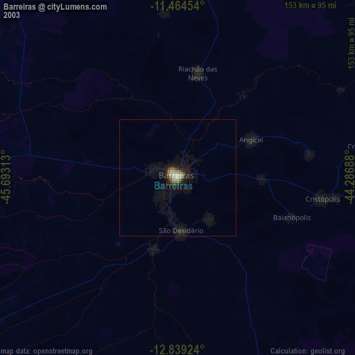
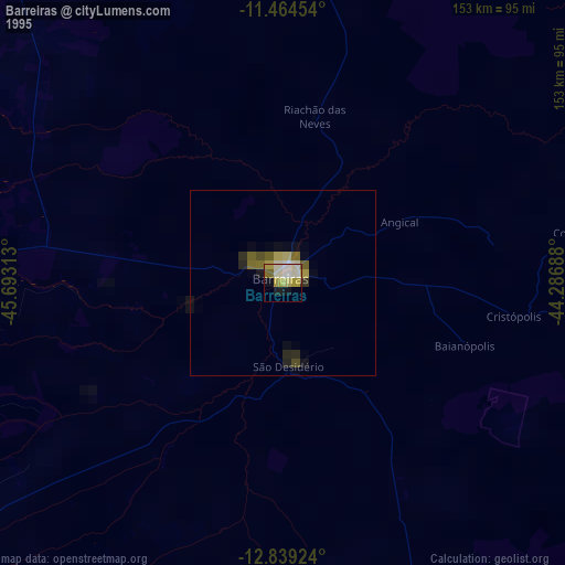
» NASA, Earths city lights 1995
» NASA city lights 2003
» Earth at Night: Flat Maps 2012, 2016