Codajás night lights from space
Night Light of Codajás (Amazonas) from space (Brazil) Src. Average luminocity for 10x10km area is 7.2078% and for 50x50km: 0.3103%.
Analysis of Codajás night lights 2016
Square area 10x10 km:
 0.65%
0.65%90-99
1.08%80-89
2.6%70-79
0.87%60-69
0%50-59
0%40-49
0.87%30-39
2.38%20-29
0.87%10-19
0.22%0-9
90.48%Square area 50x50 km:
0.03%90-99
0.04%80-89
0.1%70-79
0.03%60-69
0%50-59
0.03%40-49
0.03%30-39
0.09%20-29
0.03%10-19
0.01%0-9
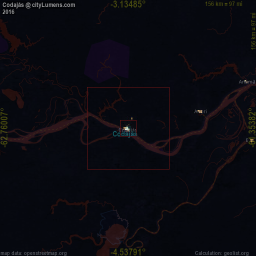
99.59%Clear (daylight) street map image can be seen on geolist.org.
Map coordinates:
3° 8' 5.5" South, 62° 45' 36.3" West
3° 50' 12" South, 62° 3' 25" West
4° 32' 16.5" South, 61° 21' 13.8" West
Some cities around Codajás sort by population:
• Manaus
239.9 km =149.1 mi,  70°
70°
• Manacapuru
170.2 km =105.8 mi, 69°
• Coari
123.4 km =76.7 mi,  257°
257°
• Manicoré
234.8 km =145.9 mi,  159°
159°
• Iranduba
216.5 km =134.5 mi, 73°
• Novo Aripuanã
234.4 km =145.6 mi,  127°
127°
• Manaquiri
198.1 km =123.1 mi, 73°
• Anori
46.3 km =28.8 mi,  81°
81°
3664525 (p: 11,185)
Sources (retrieved 2019-11-25):
» Earth at Night: Flat Maps 2012, 2016