Manaus night lights from space
Night Light of Manaus (Amazonas) from space (Brazil) Src. Average luminocity for 10x10km area is 91.9286% and for 50x50km: 20.7083%.
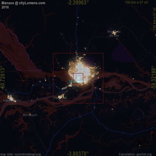

Analysis of Manaus night lights 2016
Square area 10x10 km:
 58.44%
90-99
25.76%80-89
0.65%70-79
1.95%60-69
1.08%50-59
4.33%40-49
5.19%30-39
1.73%20-29
0.87%10-19
0%0-9
0%Square area 50x50 km:
5.31%90-99
4.54%80-89
1.7%70-79
2%60-69
2.41%50-59
2.63%40-49
3.29%30-39
2.51%20-29
3.68%10-19
7.29%0-9
64.64%Clear (daylight) street map image can be seen on geolist.org.
Map coordinates:
2° 23' 58.7" South, 60° 43' 41.3" West
3° 6' 7" South, 60° 1' 30" West
3° 48' 13.6" South, 59° 19' 18.8" West
Some cities around Manaus sort by population:
• Manacapuru
69.7 km =43.3 mi,  251°
251°
• Rio Preto da Eva
57.5 km =35.7 mi,  38°
38°
• Nova Olinda do Norte
135.5 km =84.2 mi,  130°
130°
• Borba
151.3 km =94 mi,  161°
161°
• Iranduba
27.1 km =16.8 mi,  221°
221°
• Manaquiri
43.3 km =26.9 mi,  236°
236°
• Autazes
112.6 km =70 mi,  118°
118°
• Careiro da Várzea
24.4 km =15.2 mi, 115°
3663517 (p: 1,598,210)
Sources (retrieved 2019-11-25):
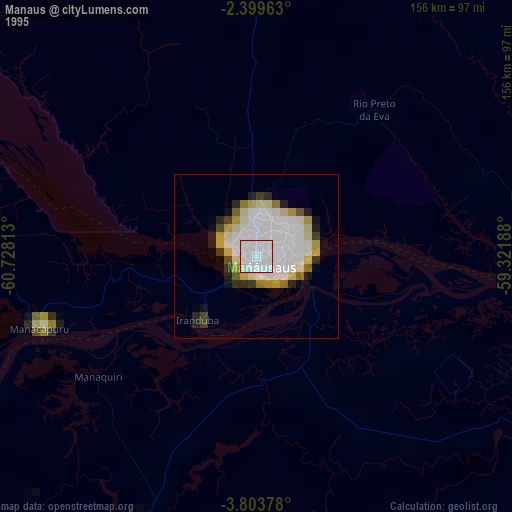
» NASA, Earths city lights 1995
» NASA city lights 2003
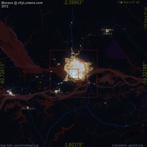
» Earth at Night: Flat Maps 2012, 2016