Anori night lights from space
Night Light of Anori (Amazonas) from space (Brazil) Src. Average luminocity for 10x10km area is 2.7619% and for 50x50km: 0.1129%.
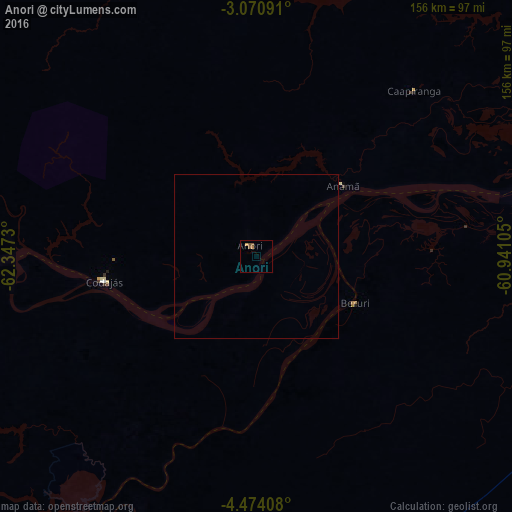
Analysis of Anori night lights 2016
Square area 10x10 km:
 0%
0%90-99
0%80-89
0.22%70-79
0.87%60-69
0.65%50-59
2.16%40-49
0.43%30-39
0%20-29
0%10-19
0%0-9
95.67%Square area 50x50 km:
0%90-99
0%80-89
0.01%70-79
0.03%60-69
0.03%50-59
0.09%40-49
0.02%30-39
0%20-29
0%10-19
0%0-9
99.83%Clear (daylight) street map image can be seen on geolist.org.
Map coordinates:
3° 4' 15.3" South, 62° 20' 50.3" West
3° 46' 22" South, 61° 38' 39" West
4° 28' 26.7" South, 60° 56' 27.8" West
Some cities around Anori sort by population:
• Manaus
194.6 km =120.9 mi,  67°
67°
• Manacapuru
125.2 km =77.8 mi, 65°
• Coari
169.7 km =105.4 mi,  258°
258°
• Codajás
46.3 km =28.8 mi, 261°
• Iranduba
170.7 km =106.1 mi, 71°
• Novo Aripuanã
205.2 km =127.5 mi,  136°
136°
• Manaquiri
152.3 km =94.6 mi, 70°
• Careiro da Várzea
211.6 km =131.5 mi, 72°
3665315 (p: 8,064)
Sources (retrieved 2019-11-25):
» Earth at Night: Flat Maps 2012, 2016