Manicoré night lights from space
Night Light of Manicoré (Amazonas) from space (Brazil) Src. Average luminocity for 10x10km area is 8.1054% and for 50x50km: 0.3955%.
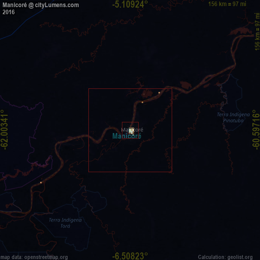
Analysis of Manicoré night lights 2016
Square area 10x10 km:
 0%
0%90-99
2.27%80-89
1.86%70-79
0.21%60-69
1.24%50-59
0.21%40-49
2.89%30-39
2.07%20-29
0%10-19
0%0-9
89.26%Square area 50x50 km:
0%90-99
0.09%80-89
0.08%70-79
0.01%60-69
0.09%50-59
0.04%40-49
0.12%30-39
0.09%20-29
0%10-19
0%0-9
99.49%Clear (daylight) street map image can be seen on geolist.org.
Map coordinates:
5° 6' 33.3" South, 62° 0' 12.3" West
5° 48' 33" South, 61° 18' 1" West
6° 30' 29.6" South, 60° 35' 49.8" West
Some cities around Manicoré sort by population:
• Manacapuru
289 km =179.6 mi,  15°
15°
• Coari
279.9 km =173.9 mi,  313°
313°
• Humaitá
269.4 km =167.4 mi,  225°
225°
• Borba
246.5 km =153.2 mi,  50°
50°
• Codajás
234.8 km =145.9 mi,  339°
339°
• Novo Aripuanã
127.5 km =79.2 mi, 53°
• Manaquiri
296.5 km =184.2 mi, 20°
• Anori
229.6 km =142.7 mi,  350°
350°
3663503 (p: 14,055)
Sources (retrieved 2019-11-25):
» Earth at Night: Flat Maps 2012, 2016