Novo Aripuanã night lights from space
Night Light of Novo Aripuanã (Amazonas) from space (Brazil) Src. Average luminocity for 10x10km area is 3.8616% and for 50x50km: 0.1602%.
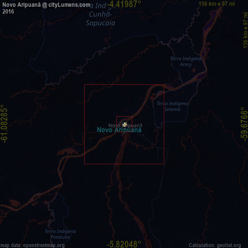
Analysis of Novo Aripuanã night lights 2016
Square area 10x10 km:
 0%
0%90-99
0%80-89
0.83%70-79
0%60-69
2.27%50-59
1.24%40-49
0.62%30-39
0%20-29
0.83%10-19
0.21%0-9
94.01%Square area 50x50 km:
0%90-99
0%80-89
0.03%70-79
0%60-69
0.09%50-59
0.05%40-49
0.03%30-39
0%20-29
0.03%10-19
0.01%0-9
99.75%Clear (daylight) street map image can be seen on geolist.org.
Map coordinates:
4° 25' 11.5" South, 61° 4' 58.3" West
5° 7' 14" South, 60° 22' 47" West
5° 49' 13.7" South, 59° 40' 35.8" West
Some cities around Novo Aripuanã sort by population:
• Manacapuru
204.2 km =126.9 mi,  352°
352°
• Manicoré
127.5 km =79.2 mi,  233°
233°
• Nova Olinda do Norte
197.3 km =122.6 mi,  46°
46°
• Borba
119.4 km =74.2 mi, 47°
• Iranduba
205.3 km =127.6 mi,  6°
6°
• Manaquiri
200.6 km =124.6 mi,  0°
0°
• Autazes
220.3 km =136.9 mi,  38°
38°
• Anori
205.2 km =127.5 mi,  316°
316°
3663142 (p: 11,044)
Sources (retrieved 2019-11-25):
» Earth at Night: Flat Maps 2012, 2016