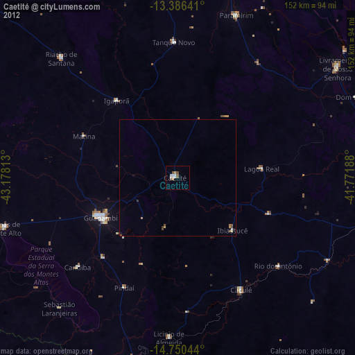
Caetité night lights from space
Night Light of Caetité (Bahia) from space (Brazil) Src. Average luminocity for 10x10km area is 17.0671% and for 50x50km: 1.564%.
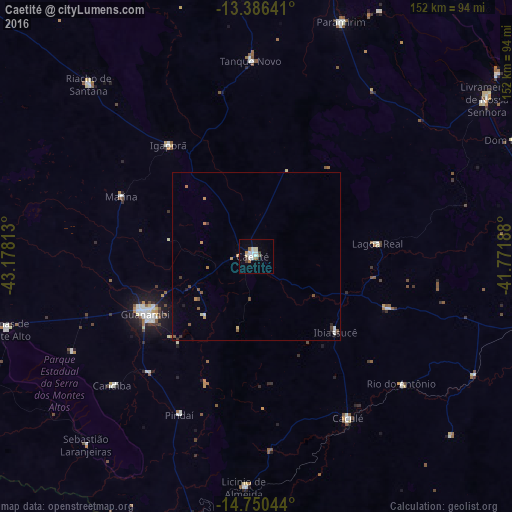
Analysis of Caetité night lights 2016
Square area 10x10 km:
 4.11%
4.11%90-99
4.55%80-89
0.87%70-79
0.87%60-69
2.38%50-59
1.08%40-49
0.65%30-39
1.95%20-29
0%10-19
2.38%0-9
81.17%Square area 50x50 km:
0.18%90-99
0.31%80-89
0.08%70-79
0.23%60-69
0.21%50-59
0.34%40-49
0.12%30-39
0.23%20-29
0.08%10-19
0.18%0-9
98.03%Clear (daylight) street map image can be seen on geolist.org.
Map coordinates:
13° 23' 11.1" South, 43° 10' 41.3" West
14° 4' 10" South, 42° 28' 30" West
14° 45' 1.6" South, 41° 46' 18.8" West
Some cities around Caetité sort by population:
• Guanambi
37.2 km =23.1 mi,  242°
242°
• Brumado
88.6 km =55.1 mi,  99°
99°
• Livramento do Brumado
82.3 km =51.1 mi,  55°
55°
• Riacho de Santana
71.6 km =44.5 mi,  315°
315°
• Santana
85.1 km =52.9 mi,  121°
121°
• Caculé
55.4 km =34.4 mi,  150°
150°
• Paramirim
74.2 km =46.1 mi,  20°
20°
• Palmas de Monte Alto
77.3 km =48 mi,  253°
253°
3468317 (p: 27,187)
Sources (retrieved 2019-11-25):
» Earth at Night: Flat Maps 2012, 2016