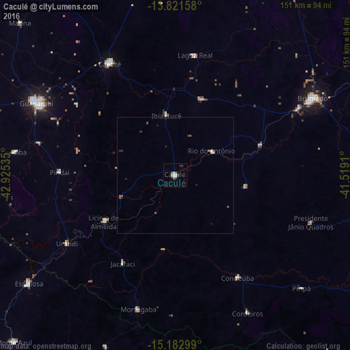
Caculé night lights from space
Night Light of Caculé (Bahia) from space (Brazil) Src. Average luminocity for 10x10km area is 9.2835% and for 50x50km: 0.7751%.
Analysis of Caculé night lights 2016
Square area 10x10 km:
 1.73%
1.73%90-99
1.73%80-89
0.87%70-79
0.87%60-69
0.22%50-59
3.25%40-49
0.87%30-39
0.87%20-29
1.52%10-19
0.22%0-9
87.88%Square area 50x50 km:
0.11%90-99
0.11%80-89
0.07%70-79
0.07%60-69
0.01%50-59
0.31%40-49
0.11%30-39
0.12%20-29
0.19%10-19
0.16%0-9
98.75%Clear (daylight) street map image can be seen on geolist.org.
Map coordinates:
13° 49' 17.7" South, 42° 55' 31.3" West
14° 30' 12" South, 42° 13' 20" West
15° 10' 58.8" South, 41° 31' 8.8" West
Some cities around Caculé sort by population:
• Guanambi
67.8 km =42.1 mi,  297°
297°
• Brumado
68.6 km =42.6 mi,  60°
60°
• Caetité
55.4 km =34.4 mi,  330°
330°
• Espinosa
79.6 km =49.5 mi,  233°
233°
• Santana
45.6 km =28.3 mi,  84°
84°
• Monte Azul
100.8 km =62.6 mi,  224°
224°
• São Felipe
96.8 km =60.1 mi,  112°
112°
• São João do Paraíso
92.8 km =57.7 mi,  166°
166°
3468349 (p: 12,143)
Sources (retrieved 2019-11-25):
» Earth at Night: Flat Maps 2012, 2016