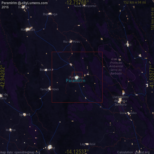
Paramirim night lights from space
Night Light of Paramirim (Bahia) from space (Brazil) Src. Average luminocity for 10x10km area is 10.6012% and for 50x50km: 1.0239%.
Analysis of Paramirim night lights 2016
Square area 10x10 km:
 2.27%
2.27%90-99
3.51%80-89
0%70-79
0%60-69
0.21%50-59
3.93%40-49
0%30-39
0.83%20-29
0%10-19
0.83%0-9
88.43%Square area 50x50 km:
0.14%90-99
0.22%80-89
0%70-79
0.09%60-69
0.09%50-59
0.35%40-49
0.13%30-39
0.15%20-29
0.15%10-19
0.1%0-9
98.58%Clear (daylight) street map image can be seen on geolist.org.
Map coordinates:
12° 45' 27.6" South, 42° 56' 31.3" West
13° 26' 33" South, 42° 14' 20" West
14° 7' 31.3" South, 41° 32' 8.8" West
Some cities around Paramirim sort by population:
• Guanambi
104.7 km =65.1 mi,  214°
214°
• Brumado
104.9 km =65.2 mi,  143°
143°
• Caetité
74.2 km =46.1 mi,  200°
200°
• Livramento do Brumado
48.4 km =30.1 mi,  118°
118°
• Macaúbas
68.5 km =42.6 mi,  313°
313°
• Riacho de Santana
77.9 km =48.4 mi,  256°
256°
• Barra da Estiva
100.7 km =62.6 mi,  101°
101°
• Boquira
87.1 km =54.1 mi,  322°
322°
3455082 (p: 7,421)
Sources (retrieved 2019-11-25):
» Earth at Night: Flat Maps 2012, 2016