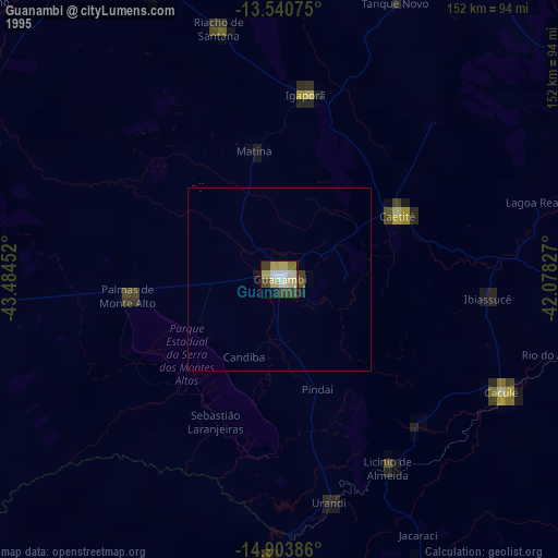
Guanambi night lights from space
Night Light of Guanambi (Bahia) from space (Brazil) Src. Average luminocity for 10x10km area is 45.5671% and for 50x50km: 3.528%.
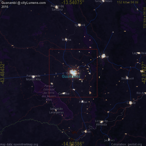
Analysis of Guanambi night lights 2016
Square area 10x10 km:
 12.55%
90-99
11.69%80-89
3.46%70-79
2.6%60-69
4.55%50-59
4.55%40-49
4.11%30-39
4.98%20-29
6.49%10-19
40.91%0-9
4.11%Square area 50x50 km:
0.61%90-99
0.69%80-89
0.2%70-79
0.35%60-69
0.36%50-59
0.49%40-49
0.41%30-39
0.39%20-29
0.52%10-19
2.94%0-9
93.04%Clear (daylight) street map image can be seen on geolist.org.
Map coordinates:
13° 32' 26.7" South, 43° 29' 4.3" West
14° 13' 24" South, 42° 46' 53" West
14° 54' 13.9" South, 42° 4' 41.8" West
Some cities around Guanambi sort by population:
• Caetité
37.2 km =23.1 mi,  62°
62°
• Espinosa
78.2 km =48.6 mi,  182°
182°
• Riacho de Santana
70.4 km =43.7 mi,  346°
346°
• Caculé
67.8 km =42.1 mi,  117°
117°
• Carinhanha
106.4 km =66.1 mi,  265°
265°
• Monte Azul
104.1 km =64.7 mi,  185°
185°
• Paramirim
104.7 km =65.1 mi,  34°
34°
• Palmas de Monte Alto
41.3 km =25.7 mi,  263°
263°
3461973 (p: 58,877)
Sources (retrieved 2019-11-25):
» NASA, Earths city lights 1995
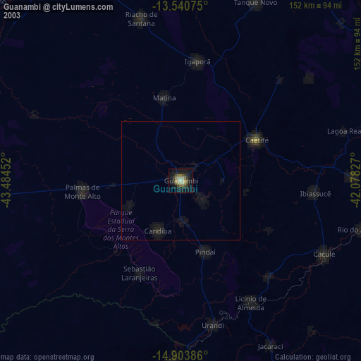
» NASA city lights 2003
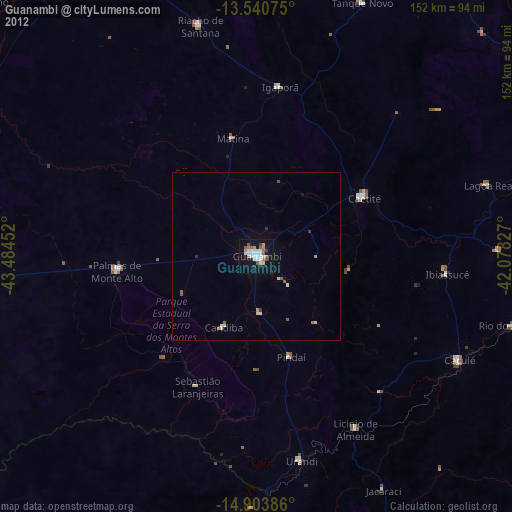
» Earth at Night: Flat Maps 2012, 2016