Livramento do Brumado night lights from space
Night Light of Livramento do Brumado (Bahia) from space (Brazil) Src. Average luminocity for 10x10km area is 15.4277% and for 50x50km: 1.4172%.
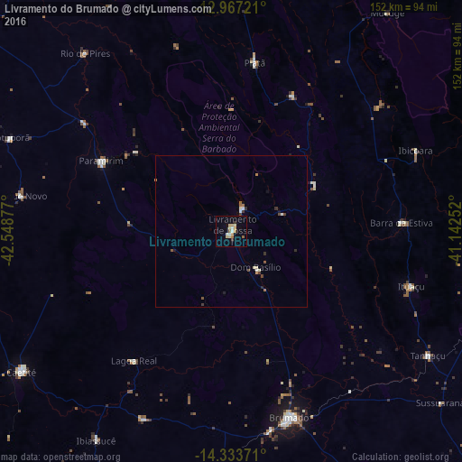
Analysis of Livramento do Brumado night lights 2016
Square area 10x10 km:
 0.83%
0.83%90-99
3.31%80-89
4.13%70-79
2.07%60-69
1.24%50-59
1.65%40-49
0%30-39
1.65%20-29
0%10-19
1.24%0-9
83.88%Square area 50x50 km:
0.04%90-99
0.32%80-89
0.23%70-79
0.15%60-69
0.19%50-59
0.2%40-49
0.1%30-39
0.3%20-29
0.11%10-19
0.21%0-9
98.15%Clear (daylight) street map image can be seen on geolist.org.
Map coordinates:
12° 58' 2" South, 42° 32' 55.6" West
13° 39' 5.2" South, 41° 50' 44.3" West
14° 20' 1.4" South, 41° 8' 33.1" West
Some cities around Livramento do Brumado sort by population:
• Brumado
64.4 km =40 mi,  162°
162°
• Caetité
82.3 km =51.1 mi,  235°
235°
• Macaúbas
116 km =72.1 mi,  307°
307°
• Santana
90.8 km =56.4 mi,  176°
176°
• Barra da Estiva
56.1 km =34.9 mi,  87°
87°
• Caculé
103.1 km =64.1 mi,  203°
203°
• Paramirim
48.4 km =30.1 mi,  298°
298°
• Tanhaçu
76.5 km =47.5 mi,  122°
122°
3458481 (p: 19,914)
Sources (retrieved 2019-11-25):
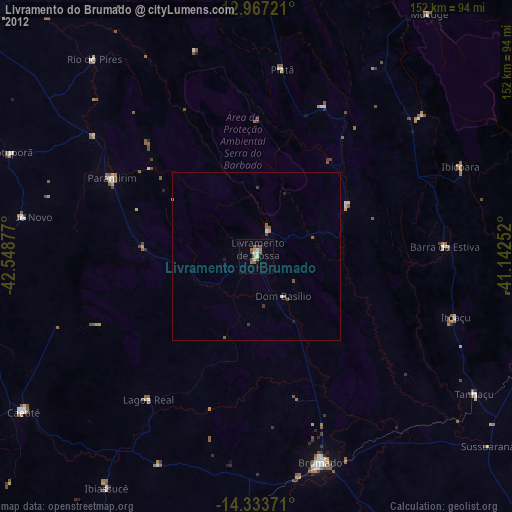
» Earth at Night: Flat Maps 2012, 2016