Brumado night lights from space
Night Light of Brumado (Bahia) from space (Brazil) Src. Average luminocity for 10x10km area is 38.829% and for 50x50km: 3.0453%.
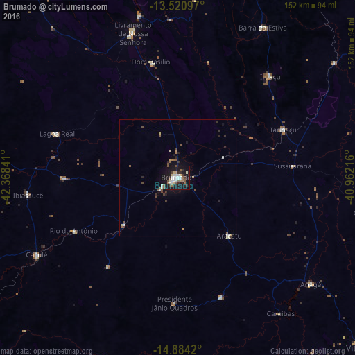
Analysis of Brumado night lights 2016
Square area 10x10 km:
 7.79%
7.79%90-99
9.52%80-89
3.25%70-79
1.3%60-69
4.55%50-59
6.93%40-49
1.95%30-39
4.98%20-29
8.23%10-19
45.02%0-9
6.49%Square area 50x50 km:
0.36%90-99
0.52%80-89
0.26%70-79
0.16%60-69
0.33%50-59
0.64%40-49
0.32%30-39
0.53%20-29
0.66%10-19
2.93%0-9
93.29%Clear (daylight) street map image can be seen on geolist.org.
Map coordinates:
13° 31' 15.5" South, 42° 22' 6.3" West
14° 12' 13" South, 41° 39' 55" West
14° 53' 3.1" South, 40° 57' 43.8" West
Some cities around Brumado sort by population:
• Caetité
88.6 km =55.1 mi,  279°
279°
• Livramento do Brumado
64.4 km =40 mi,  342°
342°
• Santana
32.7 km =20.3 mi,  206°
206°
• Barra da Estiva
73.9 km =45.9 mi,  29°
29°
• Caculé
68.6 km =42.6 mi,  240°
240°
• São Felipe
76.5 km =47.5 mi,  157°
157°
• Paramirim
104.9 km =65.2 mi,  323°
323°
• Tanhaçu
49.3 km =30.6 mi,  65°
65°
3468893 (p: 41,989)
Sources (retrieved 2019-11-25):
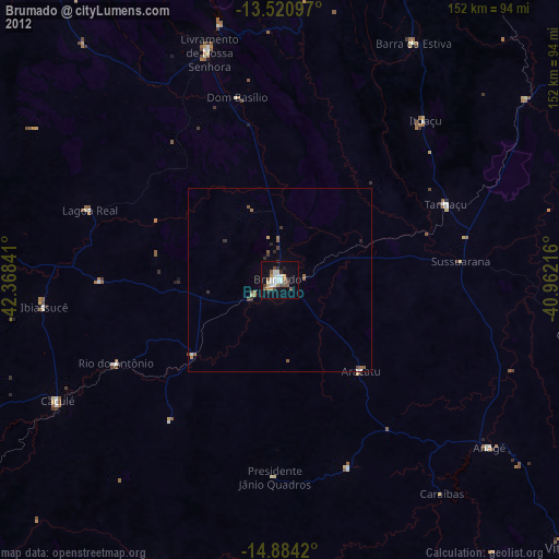
» Earth at Night: Flat Maps 2012, 2016