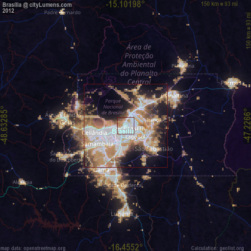
Brasília night lights from space
Night Light of Brasília (Federal District) from space (Brazil) Src. Average luminocity for 10x10km area is 89.5563% and for 50x50km: 52.713%.
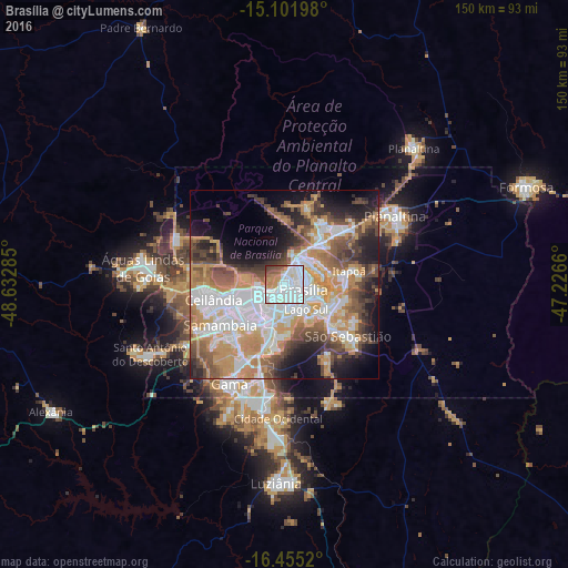


Analysis of Brasília night lights 2016
Square area 10x10 km:
 47.4%
47.4%90-99
23.81%80-89
4.11%70-79
9.52%60-69
4.55%50-59
6.28%40-49
3.25%30-39
1.08%20-29
0%10-19
0%0-9
0%Square area 50x50 km:
13.72%90-99
9.92%80-89
4.23%70-79
12.64%60-69
6.02%50-59
6.5%40-49
7.87%30-39
5.14%20-29
7.04%10-19
10.15%0-9
16.78%Clear (daylight) street map image can be seen on geolist.org.
Map coordinates:
15° 6' 7.1" South, 48° 37' 58.3" West
15° 46' 47" South, 47° 55' 47" West
16° 27' 18.7" South, 47° 13' 35.8" West
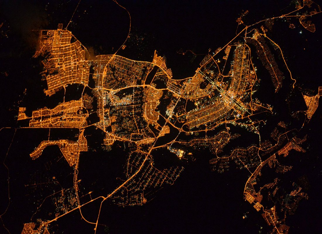
Fantastic image of Brasília from space taken by astronauts [src2], but I don't have information about it's orientation, scale or angle. If necessary, it was rotated manually, so North points approximately to upper direction. Click to zoom in:
Some cities around Brasília sort by population:
• Planaltina
35 km =21.7 mi,  59°
59°
• Luziânia
52.6 km =32.7 mi,  182°
182°
• Planaltina
49.6 km =30.8 mi,  42°
42°
• Formosa
69.2 km =43 mi,  67°
67°
• Cristalina
114.9 km =71.4 mi,  163°
163°
• Padre Bernardo
78 km =48.5 mi,  330°
330°
• Pirenópolis
110.6 km =68.7 mi,  265°
265°
• Abadiânia
95.5 km =59.3 mi,  240°
240°
3469058 (p: 2,207,718)
Sources (retrieved 2019-11-25):
» NASA, Earths city lights 1995
» NASA city lights 2003
» Earth at Night: Flat Maps 2012, 2016
Src.2: Tim Kopra, Twitter/@astro_tim, 2016-05-20