Pirenópolis night lights from space
Night Light of Pirenópolis (Goiás) from space (Brazil) Src. Average luminocity for 10x10km area is 9.8961% and for 50x50km: 0.8168%.
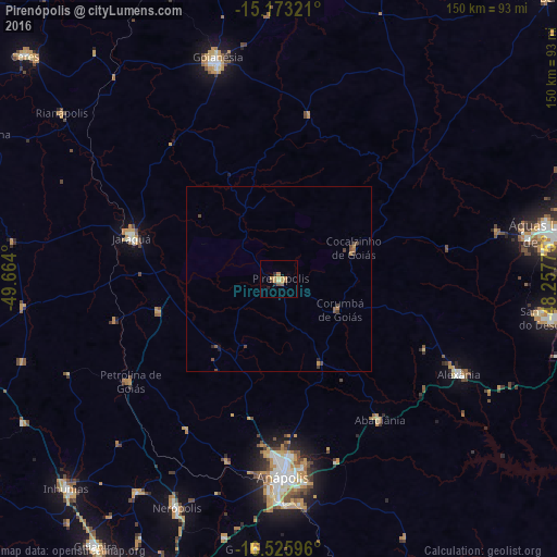
Analysis of Pirenópolis night lights 2016
Square area 10x10 km:
 0%
0%90-99
0%80-89
1.52%70-79
4.33%60-69
1.95%50-59
2.81%40-49
0.65%30-39
0%20-29
1.95%10-19
0.65%0-9
86.15%Square area 50x50 km:
0%90-99
0%80-89
0.07%70-79
0.25%60-69
0.16%50-59
0.22%40-49
0.35%30-39
0.1%20-29
0.14%10-19
0.09%0-9
98.62%Clear (daylight) street map image can be seen on geolist.org.
Map coordinates:
15° 10' 23.6" South, 49° 39' 50.4" West
15° 51' 2.6" South, 48° 57' 39.1" West
16° 31' 33.5" South, 48° 15' 27.9" West
Some cities around Pirenópolis sort by population:
• Anápolis
52.9 km =32.9 mi,  179°
179°
• Goianésia
61.6 km =38.3 mi,  344°
344°
• Inhumas
80.3 km =49.9 mi,  225°
225°
• Jaraguá
41.3 km =25.7 mi,  284°
284°
• Nerópolis
67.6 km =42 mi,  204°
204°
• Goianápolis
73.7 km =45.8 mi,  185°
185°
• Petrolina de Goiás
48.6 km =30.2 mi,  236°
236°
• Abadiânia
47.8 km =29.7 mi,  145°
145°
3453512 (p: 13,615)
Sources (retrieved 2019-11-25):
» Earth at Night: Flat Maps 2012, 2016