Amarante do Maranhão night lights from space
Night Light of Amarante do Maranhão (Maranhão) from space (Brazil) Src. Average luminocity for 10x10km area is 7.8719% and for 50x50km: 0.4599%.
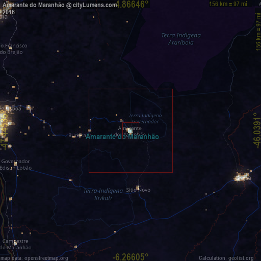
Analysis of Amarante do Maranhão night lights 2016
Square area 10x10 km:
 0.41%
0.41%90-99
2.07%80-89
0.83%70-79
1.65%60-69
0.41%50-59
2.07%40-49
0%30-39
1.65%20-29
0%10-19
0.41%0-9
90.5%Square area 50x50 km:
0.02%90-99
0.09%80-89
0.03%70-79
0.07%60-69
0.12%50-59
0.1%40-49
0.03%30-39
0.1%20-29
0.03%10-19
0.02%0-9
99.38%Clear (daylight) street map image can be seen on geolist.org.
Map coordinates:
4° 51' 59.3" South, 47° 26' 43.3" West
5° 34' 0" South, 46° 44' 32" West
6° 15' 57.8" South, 46° 2' 20.8" West
Some cities around Amarante do Maranhão sort by population:
• Imperatriz
83.1 km =51.6 mi,  273°
273°
• Barra do Corda
166 km =103.1 mi,  87°
87°
• Grajaú
72.5 km =45 mi,  112°
112°
• Carolina
212.2 km =131.9 mi,  202°
202°
• Porto Franco
112.4 km =69.8 mi,  220°
220°
• Riachão
200.1 km =124.3 mi,  176°
176°
• Bom Jardim
163.7 km =101.7 mi,  169°
169°
• São Raimundo das Mangabeiras
213.6 km =132.7 mi,  139°
139°
3407755 (p: 11,510)
Sources (retrieved 2019-11-25):
» Earth at Night: Flat Maps 2012, 2016