Pauini night lights from space
Night Light of Pauini (Amazonas) from space (Brazil) Src. Average luminocity for 10x10km area is 2.1839% and for 50x50km: 0.0897%.
Analysis of Pauini night lights 2016
Square area 10x10 km:
 0%
0%90-99
0.83%80-89
0%70-79
0%60-69
0.83%50-59
0%40-49
0.83%30-39
0.83%20-29
0%10-19
0.83%0-9
95.87%Square area 50x50 km:
0%90-99
0.03%80-89
0%70-79
0%60-69
0.03%50-59
0%40-49
0.03%30-39
0.03%20-29
0%10-19
0.03%0-9
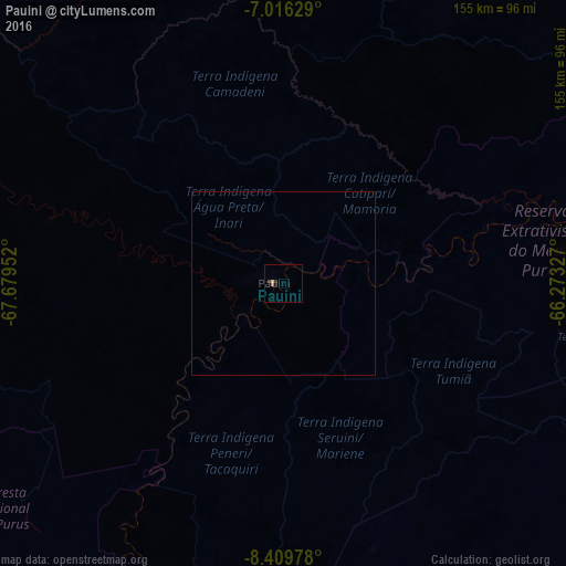
99.83%Clear (daylight) street map image can be seen on geolist.org.
Map coordinates:
7° 0' 58.6" South, 67° 40' 46.3" West
7° 42' 49" South, 66° 58' 35" West
8° 24' 35.2" South, 66° 16' 23.8" West
Some cities around Pauini sort by population:
• Rio Branco
267.6 km =166.3 mi,  200°
200°
• Sena Madureira
239.4 km =148.8 mi,  231°
231°
• Carauari
314.9 km =195.7 mi,  1°
1°
• Boca do Acre
124.4 km =77.3 mi, 201°
• Plácido de Castro
292.4 km =181.7 mi,  184°
184°
• Senador Guiomard
283.5 km =176.2 mi, 197°
• Canutama
314.8 km =195.6 mi,  65°
65°
• Extrema
238.7 km =148.3 mi,  163°
163°
3662927 (p: 7,633)
Sources (retrieved 2019-11-25):
» Earth at Night: Flat Maps 2012, 2016