Barcelos night lights from space
Night Light of Barcelos (Amazonas) from space (Brazil) Src. Average luminocity for 10x10km area is 2.8463% and for 50x50km: 0.1138%.
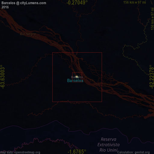
Analysis of Barcelos night lights 2016
Square area 10x10 km:
 0%
0%90-99
0%80-89
0%70-79
0.87%60-69
0.87%50-59
0.87%40-49
1.73%30-39
0%20-29
0%10-19
0%0-9
95.67%Square area 50x50 km:
0%90-99
0%80-89
0%70-79
0.03%60-69
0.03%50-59
0.03%40-49
0.07%30-39
0%20-29
0%10-19
0%0-9
99.83%Clear (daylight) street map image can be seen on geolist.org.
Map coordinates:
0° 16' 13.8" South, 63° 37' 48.1" West
0° 58' 24.9" South, 62° 55' 36.8" West
1° 40' 35.4" South, 62° 13' 25.6" West
Some cities around Barcelos sort by population:
• Manacapuru
364.1 km =226.2 mi,  135°
135°
• Coari
346.8 km =215.5 mi,  183°
183°
• Tefé
332.6 km =206.7 mi,  216°
216°
• Fonte Boa
391.2 km =243.1 mi,  244°
244°
• Codajás
332.7 km =206.7 mi,  163°
163°
• Manaquiri
387.1 km =240.5 mi,  132°
132°
• Anori
342.3 km =212.7 mi, 155°
• Alvarães
325.5 km =202.3 mi, 219°
3665098 (p: 7,353)
Sources (retrieved 2019-11-25):
» Earth at Night: Flat Maps 2012, 2016