Careiro da Várzea night lights from space
Night Light of Careiro da Várzea (Amazonas) from space (Brazil) Src. Average luminocity for 10x10km area is 1.3052% and for 50x50km: 13.5803%.
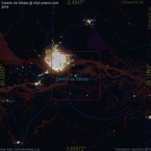
Analysis of Careiro da Várzea night lights 2016
Square area 10x10 km:
 0%
0%90-99
0.87%80-89
0%70-79
0%60-69
0%50-59
0%40-49
0.43%30-39
0.43%20-29
0%10-19
0%0-9
98.27%Square area 50x50 km:
4.85%90-99
3.76%80-89
0.92%70-79
1.12%60-69
1.19%50-59
1.21%40-49
1.56%30-39
1.06%20-29
1.52%10-19
2.89%0-9
79.92%Clear (daylight) street map image can be seen on geolist.org.
Map coordinates:
2° 29' 40.9" South, 60° 31' 47.5" West
3° 11' 49" South, 59° 49' 36.3" West
3° 53' 55.4" South, 59° 7' 25" West
Some cities around Careiro da Várzea sort by population:
• Manaus
24.4 km =15.2 mi,  295°
295°
• Manacapuru
88.9 km =55.2 mi,  262°
262°
• Rio Preto da Eva
57.2 km =35.5 mi,  14°
14°
• Nova Olinda do Norte
112 km =69.6 mi,  133°
133°
• Borba
135.4 km =84.1 mi,  168°
168°
• Iranduba
41.1 km =25.5 mi, 256°
• Manaquiri
59.6 km =37 mi, 257°
• Autazes
88.2 km =54.8 mi,  118°
118°
3402920 (p: 6,659)
Sources (retrieved 2019-11-25):
» Earth at Night: Flat Maps 2012, 2016