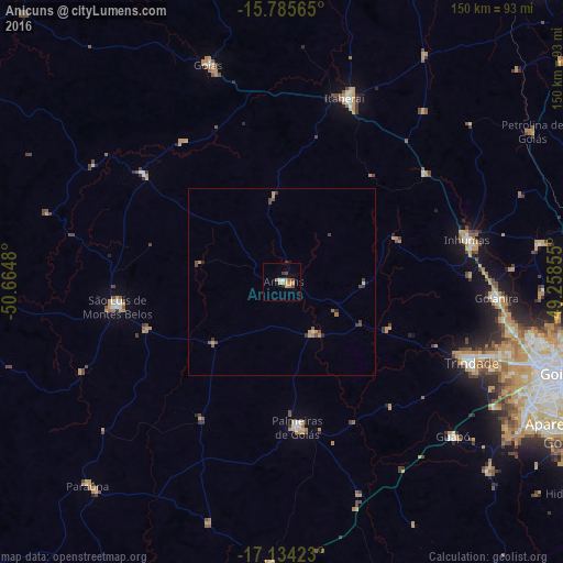
Anicuns night lights from space
Night Light of Anicuns (Goiás) from space (Brazil) Src. Average luminocity for 10x10km area is 11.3822% and for 50x50km: 1.2355%.
Analysis of Anicuns night lights 2016
Square area 10x10 km:
 0.62%
0.62%90-99
1.03%80-89
0.83%70-79
4.96%60-69
1.65%50-59
0.83%40-49
2.48%30-39
1.24%20-29
0%10-19
1.24%0-9
85.12%Square area 50x50 km:
0.05%90-99
0.08%80-89
0.03%70-79
0.45%60-69
0.18%50-59
0.17%40-49
0.44%30-39
0.28%20-29
0.11%10-19
0.1%0-9
98.12%Clear (daylight) street map image can be seen on geolist.org.
Map coordinates:
15° 47' 8.3" South, 50° 39' 53.3" West
16° 27' 40" South, 49° 57' 42" West
17° 8' 3.2" South, 49° 15' 30.8" West
Some cities around Anicuns sort by population:
• Trindade
54.6 km =33.9 mi,  112°
112°
• Inhumas
51 km =31.7 mi,  76°
76°
• São Luís de Montes Belos
44.3 km =27.5 mi,  260°
260°
• Goianira
57.2 km =35.5 mi,  93°
93°
• Itaberaí
51.6 km =32.1 mi,  18°
18°
• Palmeiras de Goiás
38.4 km =23.9 mi,  174°
174°
• Guapó
61.5 km =38.2 mi,  131°
131°
• Firminópolis
39 km =24.2 mi,  249°
249°
3472138 (p: 15,684)
Sources (retrieved 2019-11-25):
» Earth at Night: Flat Maps 2012, 2016