Firminópolis night lights from space
Night Light of Firminópolis (Goiás) from space (Brazil) Src. Average luminocity for 10x10km area is 5.1515% and for 50x50km: 1.4509%.
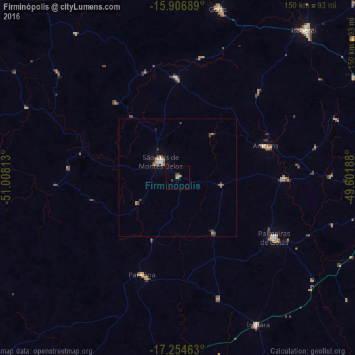
Analysis of Firminópolis night lights 2016
Square area 10x10 km:
 0%
0%90-99
0%80-89
0%70-79
2.6%60-69
0.87%50-59
0.87%40-49
1.08%30-39
1.52%20-29
0%10-19
0%0-9
93.07%Square area 50x50 km:
0.07%90-99
0.17%80-89
0.08%70-79
0.51%60-69
0.1%50-59
0.21%40-49
0.42%30-39
0.19%20-29
0.13%10-19
0.3%0-9
97.83%Clear (daylight) street map image can be seen on geolist.org.
Map coordinates:
15° 54' 24.8" South, 51° 0' 29.3" West
16° 34' 55" South, 50° 18' 18" West
17° 15' 16.7" South, 49° 36' 6.8" West
Some cities around Firminópolis sort by population:
• Trindade
87.3 km =54.2 mi,  94°
94°
• São Luís de Montes Belos
9.6 km =6 mi,  311°
311°
• Itaberaí
81.8 km =50.8 mi,  40°
40°
• Goiás
74.1 km =46 mi,  13°
13°
• Anicuns
39 km =24.2 mi,  69°
69°
• Palmeiras de Goiás
47.4 km =29.5 mi,  121°
121°
• Guapó
86.8 km =53.9 mi,  108°
108°
• Paraúna
43.5 km =27 mi,  200°
200°
3463326 (p: 9,084)
Sources (retrieved 2019-11-25):
» Earth at Night: Flat Maps 2012, 2016