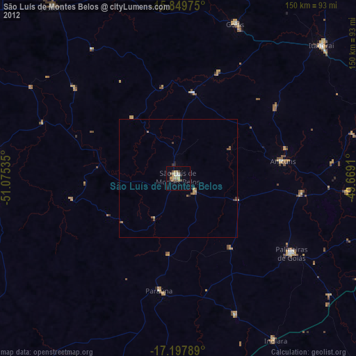
São Luís de Montes Belos night lights from space
Night Light of São Luís de Montes Belos (Goiás) from space (Brazil) Src. Average luminocity for 10x10km area is 19.9153% and for 50x50km: 1.3263%.
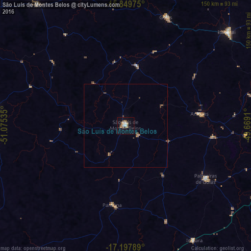
Analysis of São Luís de Montes Belos night lights 2016
Square area 10x10 km:
 1.65%
1.65%90-99
4.13%80-89
1.86%70-79
5.99%60-69
1.65%50-59
2.07%40-49
1.65%30-39
0.83%20-29
0.83%10-19
7.44%0-9
71.9%Square area 50x50 km:
0.07%90-99
0.17%80-89
0.07%70-79
0.45%60-69
0.1%50-59
0.15%40-49
0.44%30-39
0.09%20-29
0.1%10-19
0.3%0-9
98.07%Clear (daylight) street map image can be seen on geolist.org.
Map coordinates:
15° 50' 59.1" South, 51° 4' 31.3" West
16° 31' 30" South, 50° 22' 20" West
17° 11' 52.4" South, 49° 40' 8.8" West
Some cities around São Luís de Montes Belos sort by population:
• Iporá
80 km =49.7 mi,  276°
276°
• Itaberaí
82.1 km =51 mi,  46°
46°
• Goiás
70.2 km =43.6 mi,  20°
20°
• Anicuns
44.3 km =27.5 mi,  80°
80°
• Palmeiras de Goiás
56.8 km =35.3 mi,  123°
123°
• Paraúna
47.7 km =29.6 mi,  189°
189°
• Firminópolis
9.6 km =6 mi,  131°
131°
• Itapirapuã
82.2 km =51.1 mi,  341°
341°
3448558 (p: 23,619)
Sources (retrieved 2019-11-25):
» Earth at Night: Flat Maps 2012, 2016