Itaberaí night lights from space
Night Light of Itaberaí (Goiás) from space (Brazil) Src. Average luminocity for 10x10km area is 25.655% and for 50x50km: 1.7197%.
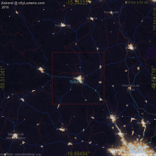
Analysis of Itaberaí night lights 2016
Square area 10x10 km:
 2.69%
2.69%90-99
4.55%80-89
1.03%70-79
9.71%60-69
1.65%50-59
1.86%40-49
3.31%30-39
3.31%20-29
2.89%10-19
21.49%0-9
47.52%Square area 50x50 km:
0.12%90-99
0.23%80-89
0.04%70-79
0.59%60-69
0.17%50-59
0.22%40-49
0.38%30-39
0.14%20-29
0.21%10-19
0.9%0-9
97%Clear (daylight) street map image can be seen on geolist.org.
Map coordinates:
15° 20' 36" South, 50° 30' 48.3" West
16° 1' 13" South, 49° 48' 37" West
16° 41' 41.8" South, 49° 6' 25.8" West
Some cities around Itaberaí sort by population:
• Inhumas
50.3 km =31.3 mi,  138°
138°
• Jaraguá
58.7 km =36.5 mi,  60°
60°
• Goianira
66.9 km =41.6 mi, 142°
• Itapuranga
53 km =32.9 mi,  343°
343°
• Goiás
36.5 km =22.7 mi,  285°
285°
• Anicuns
51.6 km =32.1 mi,  198°
198°
• Uruana
59.1 km =36.7 mi,  13°
13°
• Petrolina de Goiás
51.1 km =31.8 mi,  99°
99°
3460963 (p: 22,129)
Sources (retrieved 2019-11-25):
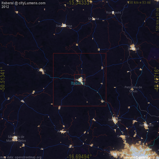
» Earth at Night: Flat Maps 2012, 2016