Villamontes night lights from space
Night Light of Villamontes (Tarija) from space (Bolivia) Src. Average luminocity for 10x10km area is 20.7183% and for 50x50km: 1.2328%.
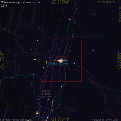
Analysis of Villamontes night lights 2016
Square area 10x10 km:
 3.77%
3.77%90-99
2.78%80-89
2.78%70-79
3.37%60-69
2.38%50-59
1.59%40-49
2.38%30-39
2.38%20-29
0.79%10-19
11.11%0-9
66.67%Square area 50x50 km:
0.15%90-99
0.11%80-89
0.14%70-79
0.21%60-69
0.2%50-59
0.12%40-49
0.17%30-39
0.25%20-29
0.08%10-19
0.52%0-9
98.04%Clear (daylight) street map image can be seen on geolist.org.
Map coordinates:
20° 36' 20.3" South, 64° 10' 19.8" West
21° 15' 44.5" South, 63° 28' 8.5" West
21° 54' 58.1" South, 62° 45' 57.3" West
Some cities around Villamontes sort by population:
• Tarija
134 km =83.3 mi,  256°
256°
• Yacuiba
86.6 km =53.8 mi,  194°
194°
• Tartagal, AR
143.6 km =89.2 mi, 193°
• Bermejo
186.3 km =115.8 mi,  208°
208°
• Camiri
136.2 km =84.6 mi,  357°
357°
• Embarcación, AR
226.1 km =140.5 mi,  196°
196°
• General Enrique Mosconi, AR
152.4 km =94.7 mi, 193°
• Monteagudo
170.3 km =105.8 mi,  342°
342°
3901547 (p: 18,761)
Sources (retrieved 2019-11-25):
» Earth at Night: Flat Maps 2012, 2016