Camiri night lights from space
Night Light of Camiri (Santa Cruz) from space (Bolivia) Src. Average luminocity for 10x10km area is 15.4555% and for 50x50km: 1.5434%.
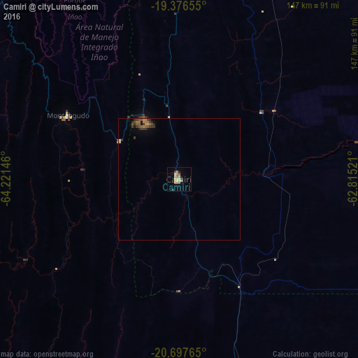
Analysis of Camiri night lights 2016
Square area 10x10 km:
 0.83%
0.83%90-99
0.83%80-89
5.8%70-79
4.35%60-69
0.83%50-59
0.62%40-49
1.66%30-39
1.66%20-29
0%10-19
2.69%0-9
80.75%Square area 50x50 km:
0.03%90-99
0.03%80-89
0.33%70-79
0.28%60-69
0.27%50-59
0.29%40-49
0.28%30-39
0.46%20-29
0.18%10-19
0.27%0-9
97.59%Clear (daylight) street map image can be seen on geolist.org.
Map coordinates:
19° 22' 35.6" South, 64° 13' 17.3" West
20° 2' 18.6" South, 63° 31' 6" West
20° 41' 51.5" South, 62° 48' 54.8" West
Some cities around Camiri sort by population:
• Sucre
214.3 km =133.2 mi,  301°
301°
• Tarija
208.7 km =129.7 mi,  217°
217°
• Potosí
239.2 km =148.6 mi,  282°
282°
• Yacuiba
220.5 km =137 mi,  184°
184°
• Villamontes
136.2 km =84.6 mi, 177°
• Santiago del Torno
228.6 km =142 mi,  3°
3°
• Vallegrande
183 km =113.7 mi,  340°
340°
• Monteagudo
52.8 km =32.8 mi, 300°
3922414 (p: 27,961)
Sources (retrieved 2019-11-25):
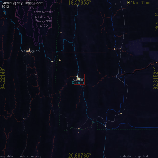
» Earth at Night: Flat Maps 2012, 2016