Tartagal night lights from space
Night Light of Tartagal (Salta) from space (Argentina) Src. Average luminocity for 10x10km area is 31.9659% and for 50x50km: 2.7248%.
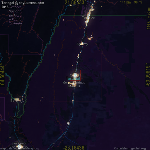
Analysis of Tartagal night lights 2016
Square area 10x10 km:
 7.58%
7.58%90-99
6.06%80-89
0.95%70-79
4.55%60-69
3.6%50-59
0.95%40-49
3.03%30-39
3.22%20-29
7.77%10-19
42.99%0-9
19.32%Square area 50x50 km:
0.39%90-99
0.31%80-89
0.25%70-79
0.43%60-69
0.38%50-59
0.25%40-49
0.27%30-39
0.46%20-29
0.44%10-19
2.75%0-9
94.06%Clear (daylight) street map image can be seen on geolist.org.
Map coordinates:
21° 51' 55.2" South, 64° 30' 16" West
22° 30' 58.9" South, 63° 48' 4.7" West
23° 9' 51.7" South, 63° 5' 53.5" West
Some cities around Tartagal sort by population:
• Tarija, BO
145.1 km =90.2 mi,  318°
318°
• Yacuiba, BO
57 km =35.4 mi,  12°
12°
• San Ramón de la Nueva Orán
87.4 km =54.3 mi,  217°
217°
• Bermejo, BO
60 km =37.3 mi,  246°
246°
• Embarcación
83 km =51.6 mi,  201°
201°
• General Enrique Mosconi
8.9 km =5.5 mi,  187°
187°
• Villamontes, BO
143.6 km =89.2 mi, 13°
• Yuto
142.9 km =88.8 mi,  208°
208°
3834601 (p: 60,819)
Sources (retrieved 2019-11-25):
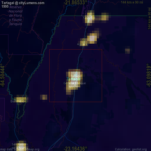
» NASA, Earths city lights 1995
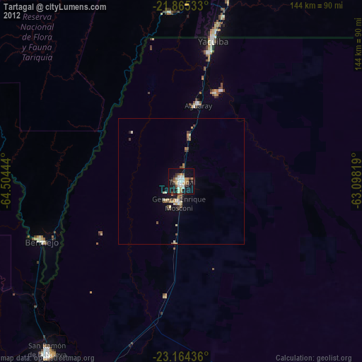
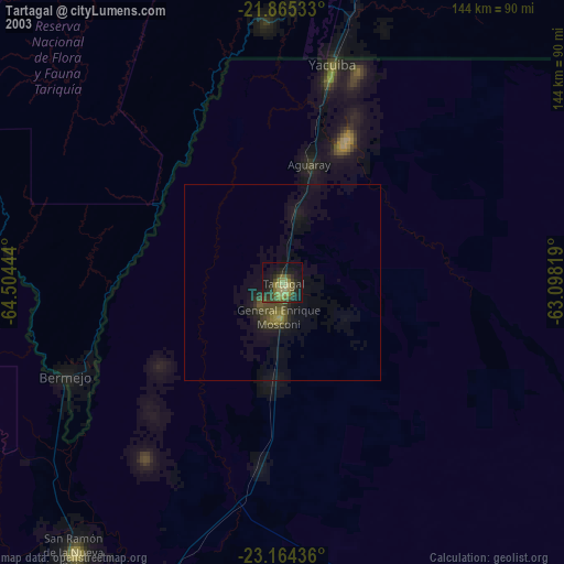
» NASA city lights 2003
» Earth at Night: Flat Maps 2012, 2016