Monteagudo night lights from space
Night Light of Monteagudo (Chuquisaca) from space (Bolivia) Src. Average luminocity for 10x10km area is 8.2355% and for 50x50km: 0.4936%.
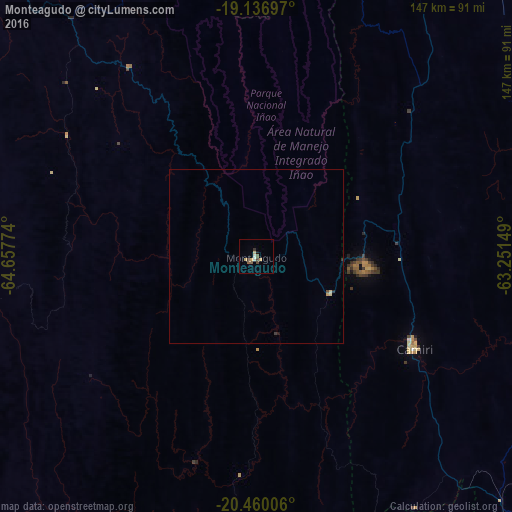
Analysis of Monteagudo night lights 2016
Square area 10x10 km:
 0%
0%90-99
1.65%80-89
1.03%70-79
1.86%60-69
0.41%50-59
2.48%40-49
1.86%30-39
1.45%20-29
0%10-19
0.83%0-9
88.43%Square area 50x50 km:
0%90-99
0.06%80-89
0.11%70-79
0.11%60-69
0.02%50-59
0.11%40-49
0.1%30-39
0.1%20-29
0.05%10-19
0.06%0-9
99.3%Clear (daylight) street map image can be seen on geolist.org.
Map coordinates:
19° 8' 13.1" South, 64° 39' 27.9" West
19° 47' 59.6" South, 63° 57' 16.6" West
20° 27' 36.2" South, 63° 15' 5.4" West
Some cities around Monteagudo sort by population:
• Sucre
161.5 km =100.4 mi,  301°
301°
• Tarija
209.1 km =129.9 mi,  202°
202°
• Potosí
189.8 km =117.9 mi,  277°
277°
• Camiri
52.8 km =32.8 mi,  120°
120°
• Villamontes
170.3 km =105.8 mi,  162°
162°
• Santiago del Torno
210.4 km =130.7 mi,  16°
16°
• Vallegrande
146.6 km =91.1 mi,  353°
353°
• Aiquile
219.3 km =136.3 mi,  324°
324°
3910094 (p: 8,289)
Sources (retrieved 2019-11-25):
» Earth at Night: Flat Maps 2012, 2016