Bermejo night lights from space
Night Light of Bermejo (Tarija) from space (Bolivia) Src. Average luminocity for 10x10km area is 11.6605% and for 50x50km: 0.5624%.
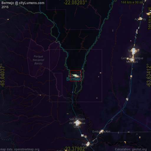
Analysis of Bermejo night lights 2016
Square area 10x10 km:
 0.62%
0.62%90-99
1.86%80-89
1.04%70-79
1.66%60-69
4.76%50-59
0.83%40-49
1.24%30-39
2.07%20-29
0%10-19
0.21%0-9
85.71%Square area 50x50 km:
0.02%90-99
0.07%80-89
0.04%70-79
0.06%60-69
0.22%50-59
0.06%40-49
0.11%30-39
0.14%20-29
0.02%10-19
0.04%0-9
99.23%Clear (daylight) street map image can be seen on geolist.org.
Map coordinates:
22° 4' 55.3" South, 65° 2' 25.3" West
22° 43' 55.4" South, 64° 20' 14.1" West
23° 22' 44.5" South, 63° 38' 2.8" West
Some cities around Bermejo sort by population:
• Yacuiba
104.6 km =65 mi,  40°
40°
• San Ramón de la Nueva Orán, AR
45.1 km =28 mi,  178°
178°
• Tartagal, AR
60 km =37.3 mi,  66°
66°
• Embarcación, AR
58.4 km =36.3 mi,  155°
155°
• General Enrique Mosconi, AR
55.9 km =34.7 mi, 74°
• Humahuaca, AR
116.3 km =72.3 mi,  243°
243°
• Yuto, AR
102.3 km =63.6 mi,  187°
187°
• Caimancito, AR
115.2 km =71.6 mi, 193°
3923154 (p: 35,411)
Sources (retrieved 2019-11-25):
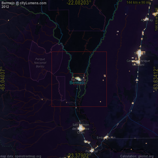
» Earth at Night: Flat Maps 2012, 2016