Embarcación night lights from space
Night Light of Embarcación (Salta) from space (Argentina) Src. Average luminocity for 10x10km area is 8.7955% and for 50x50km: 2.4579%.

Analysis of Embarcación night lights 2016
Square area 10x10 km:
 1.7%
1.7%90-99
1.33%80-89
0%70-79
0.19%60-69
4.36%50-59
0.76%40-49
0.95%30-39
0.76%20-29
0.19%10-19
0%0-9
89.77%Square area 50x50 km:
0.48%90-99
0.46%80-89
0.24%70-79
0.2%60-69
0.38%50-59
0.14%40-49
0.28%30-39
0.2%20-29
0.3%10-19
1.03%0-9
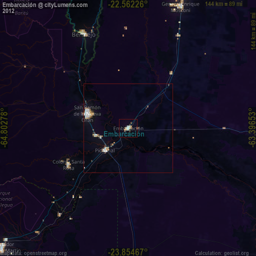
96.31%Clear (daylight) street map image can be seen on geolist.org.
Map coordinates:
22° 33' 44.1" South, 64° 48' 10" West
23° 12' 36.1" South, 64° 5' 58.7" West
23° 51' 16.8" South, 63° 23' 47.5" West
Some cities around Embarcación sort by population:
• San Ramón de la Nueva Orán
24.4 km =15.2 mi,  289°
289°
• Tartagal
83 km =51.6 mi,  21°
21°
• Bermejo, BO
58.4 km =36.3 mi,  335°
335°
• General Enrique Mosconi
74.3 km =46.2 mi, 23°
• Yuto
61.4 km =38.2 mi,  218°
218°
• Caimancito
77.6 km =48.2 mi, 220°
• Palma Sola
87.8 km =54.6 mi,  193°
193°
• Calilegua
92.7 km =57.6 mi,  227°
227°
3856231 (p: 23,961)
Sources (retrieved 2019-11-25):
» Earth at Night: Flat Maps 2012, 2016