Tarija night lights from space
Night Light of Tarija from space (Bolivia) Src. Average luminocity for 10x10km area is 60.661% and for 50x50km: 4.3934%.
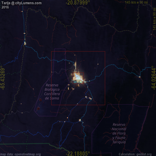

Analysis of Tarija night lights 2016
Square area 10x10 km:
 11.36%
90-99
10.8%80-89
11.36%70-79
14.58%60-69
8.71%50-59
6.82%40-49
4.36%30-39
4.73%20-29
17.23%10-19
9.85%0-9
0.19%Square area 50x50 km:
0.48%90-99
0.45%80-89
0.57%70-79
0.93%60-69
0.58%50-59
0.42%40-49
0.62%30-39
0.81%20-29
1.25%10-19
3.28%0-9
90.6%Clear (daylight) street map image can be seen on geolist.org.
Map coordinates:
20° 52' 48" South, 65° 25' 57.7" West
21° 32' 7.8" South, 64° 43' 46.4" West
22° 11' 17" South, 64° 1' 35.2" West
Some cities around Tarija sort by population:
• Yacuiba
121.1 km =75.2 mi,  116°
116°
• Tartagal, AR
145.1 km =90.2 mi,  138°
138°
• Bermejo
139 km =86.4 mi,  163°
163°
• Villazón
108.3 km =67.3 mi,  235°
235°
• Tupiza
102.9 km =63.9 mi,  275°
275°
• General Enrique Mosconi, AR
151.1 km =93.9 mi, 141°
• Villamontes
134 km =83.3 mi,  76°
76°
• La Quiaca, AR
109.2 km =67.9 mi,  234°
234°
3903320 (p: 159,269)
Sources (retrieved 2019-11-25):
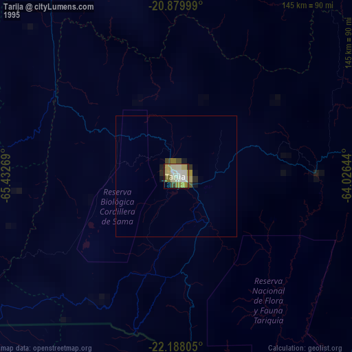
» NASA, Earths city lights 1995
» NASA city lights 2003
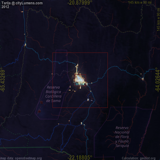
» Earth at Night: Flat Maps 2012, 2016