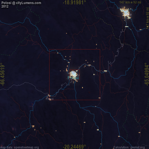
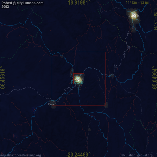
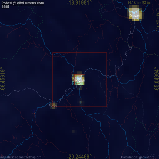
Potosí night lights from space
Night Light of Potosí from space (Bolivia) Src. Average luminocity for 10x10km area is 55.8244% and for 50x50km: 3.8869%.
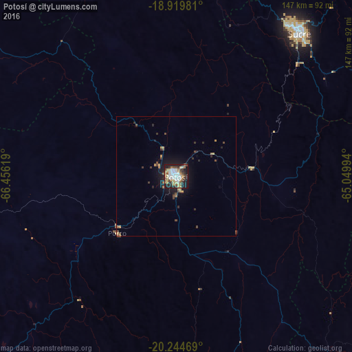
Analysis of Potosí night lights 2016
Square area 10x10 km:
 13.02%
90-99
10.12%80-89
9.71%70-79
8.68%60-69
5.58%50-59
4.34%40-49
7.23%30-39
8.47%20-29
14.26%10-19
18.6%0-9
0%Square area 50x50 km:
0.51%90-99
0.4%80-89
0.61%70-79
0.54%60-69
0.41%50-59
0.3%40-49
0.77%30-39
0.67%20-29
0.9%10-19
3.29%0-9
91.59%Clear (daylight) street map image can be seen on geolist.org.
Map coordinates:
18° 55' 11.3" South, 66° 27' 22.3" West
19° 35' 1" South, 65° 45' 11" West
20° 14' 40.9" South, 65° 2' 59.8" West
Some cities around Potosí sort by population:
• Sucre
79.9 km =49.6 mi,  40°
40°
• Mizque
187.7 km =116.6 mi,  13°
13°
• Llallagua
155.7 km =96.7 mi,  325°
325°
• Huanuni
183.5 km =114 mi,  321°
321°
• Colchani
146.8 km =91.2 mi,  237°
237°
• Uyuni
148.4 km =92.2 mi,  228°
228°
• Aiquile
164.8 km =102.4 mi,  21°
21°
• Challapata
131 km =81.4 mi,  305°
305°
3907584 (p: 141,251)
Sources (retrieved 2019-11-25):
» NASA, Earths city lights 1995
» NASA city lights 2003
» Earth at Night: Flat Maps 2012, 2016