Llallagua night lights from space
Night Light of Llallagua (Potosí) from space (Bolivia) Src. Average luminocity for 10x10km area is 15.3574% and for 50x50km: 0.9918%.
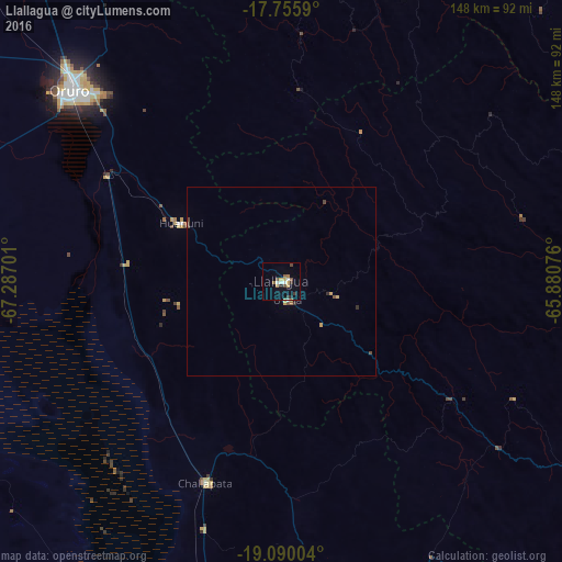

Analysis of Llallagua night lights 2016
Square area 10x10 km:
 1.45%
1.45%90-99
2.27%80-89
0.83%70-79
3.93%60-69
1.45%50-59
2.27%40-49
2.27%30-39
2.48%20-29
1.65%10-19
2.69%0-9
78.72%Square area 50x50 km:
0.06%90-99
0.1%80-89
0.07%70-79
0.28%60-69
0.06%50-59
0.17%40-49
0.24%30-39
0.18%20-29
0.11%10-19
0.11%0-9
98.62%Clear (daylight) street map image can be seen on geolist.org.
Map coordinates:
17° 45' 21.2" South, 67° 17' 13.2" West
18° 25' 27.3" South, 66° 35' 2" West
19° 5' 24.1" South, 65° 52' 50.7" West
Some cities around Llallagua sort by population:
• Cochabamba
123.6 km =76.8 mi,  21°
21°
• Oruro
77.3 km =48 mi,  309°
309°
• Quillacollo
119.2 km =74.1 mi, 15°
• Huanuni
30.5 km =19 mi,  299°
299°
• Cliza
115.7 km =71.9 mi,  36°
36°
• Tarata
108.4 km =67.4 mi,  33°
33°
• Challapata
56.6 km =35.2 mi,  200°
200°
• Capinota
86.3 km =53.6 mi, 23°
3911409 (p: 28,069)
Sources (retrieved 2019-11-25):
» Earth at Night: Flat Maps 2012, 2016