Uyuni night lights from space
Night Light of Uyuni (Potosí) from space (Bolivia) Src. Average luminocity for 10x10km area is 10.2254% and for 50x50km: 0.6267%.
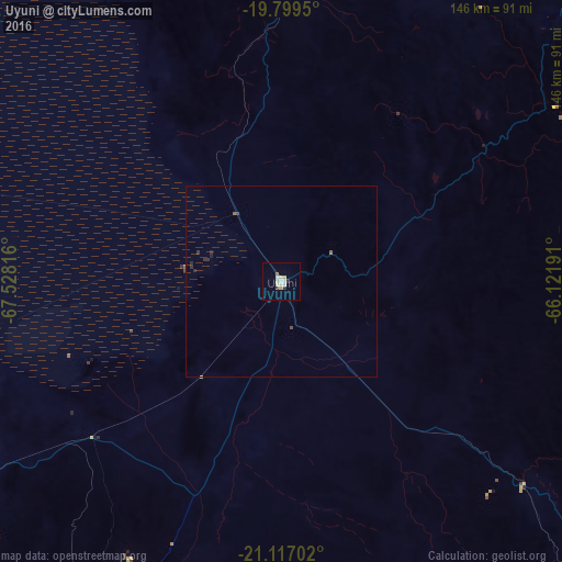
Analysis of Uyuni night lights 2016
Square area 10x10 km:
 2.08%
2.08%90-99
2.08%80-89
2.84%70-79
0.57%60-69
0%50-59
0.76%40-49
0%30-39
1.14%20-29
1.14%10-19
0%0-9
89.39%Square area 50x50 km:
0.09%90-99
0.09%80-89
0.14%70-79
0.02%60-69
0.02%50-59
0.09%40-49
0.05%30-39
0.11%20-29
0.22%10-19
0.05%0-9
99.12%Clear (daylight) street map image can be seen on geolist.org.
Map coordinates:
19° 47' 58.2" South, 67° 31' 41.4" West
20° 27' 34.8" South, 66° 49' 30.1" West
21° 7' 1.3" South, 66° 7' 18.9" West
Some cities around Uyuni sort by population:
• Sucre
227.8 km =141.5 mi,  45°
45°
• Potosí
148.4 km =92.2 mi, 48°
• Villazón
221.3 km =137.5 mi,  144°
144°
• Llallagua
227.7 km =141.5 mi,  6°
6°
• Tupiza
158.6 km =98.5 mi,  133°
133°
• La Quiaca, AR
222.8 km =138.4 mi,  145°
145°
• Colchani
21 km =13 mi,  327°
327°
• Challapata
173.3 km =107.7 mi,  1°
1°
3901903 (p: 10,293)
Sources (retrieved 2019-11-25):
» Earth at Night: Flat Maps 2012, 2016