Mizque night lights from space
Night Light of Mizque (Cochabamba) from space (Bolivia) Src. Average luminocity for 10x10km area is 3.0411% and for 50x50km: 0.2411%.
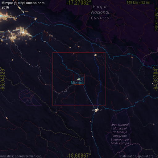
Analysis of Mizque night lights 2016
Square area 10x10 km:
 0%
0%90-99
0%80-89
1.73%70-79
0%60-69
0.22%50-59
0.65%40-49
0.87%30-39
0.65%20-29
0.22%10-19
0.87%0-9
94.81%Square area 50x50 km:
0%90-99
0%80-89
0.07%70-79
0.06%60-69
0.01%50-59
0.02%40-49
0.1%30-39
0.07%20-29
0.06%10-19
0.07%0-9
99.54%Clear (daylight) street map image can be seen on geolist.org.
Map coordinates:
17° 16' 15" South, 66° 2' 35.8" West
17° 56' 27.6" South, 65° 20' 24.6" West
18° 36' 31.2" South, 64° 38' 13.3" West
Some cities around Mizque sort by population:
• Cochabamba
106 km =65.9 mi,  305°
305°
• Sacaba
95.5 km =59.3 mi, 309°
• Punata
68.6 km =42.6 mi, 310°
• Cliza
74 km =46 mi,  302°
302°
• Aiquile
33.8 km =21 mi,  150°
150°
• Tarata
81 km =50.3 mi, 297°
• Capinota
100.7 km =62.6 mi,  284°
284°
• Chimoré
107.1 km =66.5 mi,  10°
10°
3910291 (p: 30,481)
Sources (retrieved 2019-11-25):
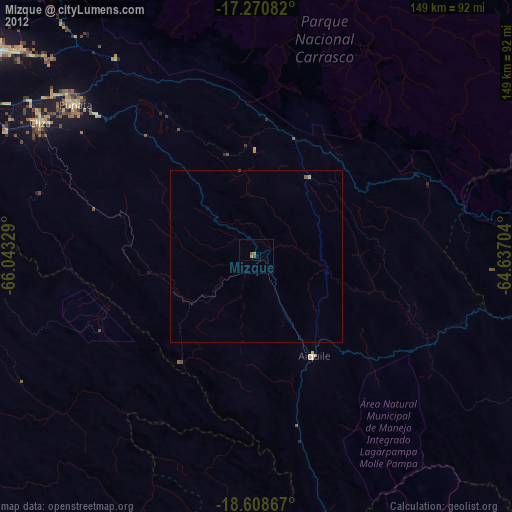
» Earth at Night: Flat Maps 2012, 2016