Aiquile night lights from space
Night Light of Aiquile (Cochabamba) from space (Bolivia) Src. Average luminocity for 10x10km area is 6.1017% and for 50x50km: 0.2831%.
Analysis of Aiquile night lights 2016
Square area 10x10 km:
 0.43%
0.43%90-99
0.43%80-89
0%70-79
3.46%60-69
0%50-59
0.22%40-49
3.03%30-39
1.08%20-29
0%10-19
0%0-9
91.34%Square area 50x50 km:
0.02%90-99
0.02%80-89
0%70-79
0.13%60-69
0%50-59
0.04%40-49
0.18%30-39
0.04%20-29
0%10-19
0%0-9
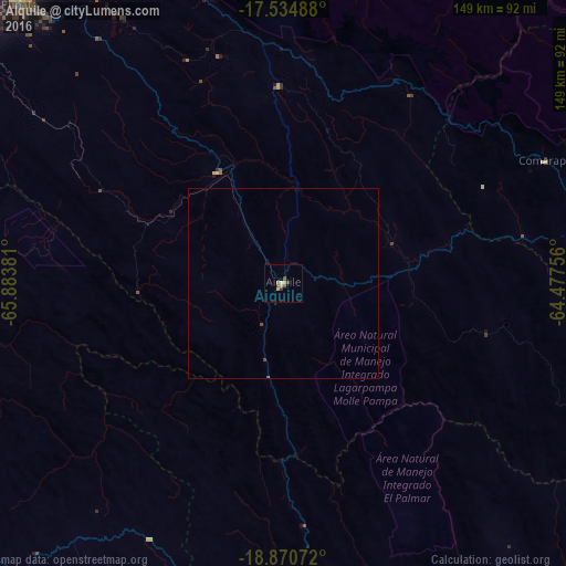
99.58%Clear (daylight) street map image can be seen on geolist.org.
Map coordinates:
17° 32' 5.6" South, 65° 53' 1.7" West
18° 12' 14.7" South, 65° 10' 50.4" West
18° 52' 14.6" South, 64° 28' 39.2" West
Some cities around Aiquile sort by population:
• Sucre
92.6 km =57.5 mi,  185°
185°
• Sacaba
127.6 km =79.3 mi,  314°
314°
• Mizque
33.8 km =21 mi,  330°
330°
• Punata
101 km =62.8 mi,  316°
316°
• Cliza
105 km =65.2 mi, 310°
• Vallegrande
117.8 km =73.2 mi,  105°
105°
• Tarata
110.9 km =68.9 mi, 306°
• Capinota
126.7 km =78.7 mi,  295°
295°
3924341 (p: 8,224)
Sources (retrieved 2019-11-25):
» Earth at Night: Flat Maps 2012, 2016